
Elevation 295 m | OS grid SS 954858 | |
 | ||
Topo map OS Landranger 170 / Explorer 151 | ||
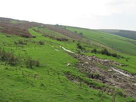
Mynydd y Gaer is a 295-metre-high hill in Bridgend County Borough in South Wales. The summit is crowned by a trig point.
Contents
Map of Mynydd y Gaer, Bridgend, UK
GeologyEdit
The hill is formed from sandstones of the Pennant Sandstone Formation assigned to the Warwickshire Group laid down late in the Carboniferous Period. The strata here dip moderately steeply northwards into the South Wales Coalfield syncline. A number of coal seams are recorded as outcropping on the hillside including the No 1 Rhondda, No 2 Rhondda, Brithdir and Brithdir Rider.
AccessEdit
The upper parts of the hill are mapped as open access under the Countryside and Rights of Way Act 2000 and so open to public access on foot. A public footpaths and a byway climb the southwest and southeast slopes of the hill respectively from a car park at the end of a minor road from the nearby village of Heol-y-Cyw. Both rights of way are followed by the Ogwr Ridgeway Walk. Two further public footpaths climb the hill’s northern slopes from the direction of Glynogwr.