
PIN 690519 Area code 476 | Time zone IST (UTC+5:30) Telephone code 476 Nearest city Karunagappally | |
 | ||
Mynagappally is a village in Kollam district in the Indian state of Kerala.
Contents
Map of Mynagappally, Kerala
Description
As of 2001 India census, Mynagappally had a population of 39336 with 19207 males and 20129 females.
Mynagappally is located in Kunnathoor taluk. Its location is 7 km east of Karunagappally and 6 km west of Sasthamcotta. Islamic Cultural Society is located here.
Government
The village is under the leadership of LDF Party. The Mynagappally Panchayath President is Smt P K Jayalekshmi. The Vice President is Sri.Reghunathan pillai
Transport
Sasthamcotta railway station is in this village.
Its western border is separated by Pallikkal River from Thodiyoor panchayath. Mynagappally panchayat shares its southern border with Thevalakkara Panchayat, its North side with Sooranad panchayat and east side with Sasthamcotta panchayat.Bus facilities are also available here. The road joining Karunagappally and Sasthamkotta pass through Mynagappally.
Economy
This panchayat hosts industrial activity including seven cashew factories, brick manufacturing, tile manufacturing, coir industry and matchbox industry. Four main market places service this village.
Notables
Freadom Fighters 1. Kunjakkanda Vaidiar 2. K.Sivaramapillai 3.K.G.Madhavan pillai Political Leaders (late) 1.CP .Karunakaran Pillai 2.K.Sivaramapillai 3.K.Jayadevan pillai 3.Thankappan pillai 4.Tharakan 5.Varghese Vaidian Political party PDP Leader Abdul Nasar Madani belongs to this village, where his orphanage Anvarssery is located.
Religion
"Mannoorkkavu devi temple", where Kathakali played most often, is there. "Vettikkadu Siva Temple" and "Cherupilakkal Juma Masjid" and many churches are situated there.
"Kumarenchira Devi Temple " is also an important pilgrim place situated here.
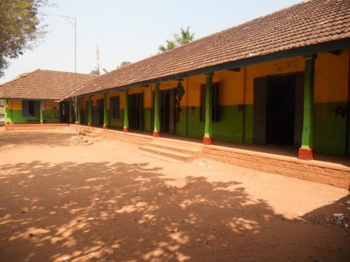
Education
High Schools in Mynagappally include:
OLDEST SCHOOLS SCVLPS South Mynagappally SCVUPS South Mynagappally