
Country India District Krishna PIN 521230 Area 14.57 km² Population 21,763 (2011) | Time zone IST (UTC+5:30) Vehicle registration AP16 Elevation 47 m Local time Thursday 11:52 AM | |
 | ||
Weather 35°C, Wind S at 8 km/h, 40% Humidity Neighborhoods Devuni Chervu, Ayyappa Nagar, Balayogi Nagar | ||
Same to same american white house construction at mylavaram andhra pradesh india
Mylavaram is a village in Krishna district of the Indian state of Andhra Pradesh. It is located in Mylavaram mandal of Vijayawada revenue division.
Contents
- Same to same american white house construction at mylavaram andhra pradesh india
- Map of Mylavaram Andhra Pradesh
- Geography
- Economy
- Assembly constituency
- References
Map of Mylavaram, Andhra Pradesh
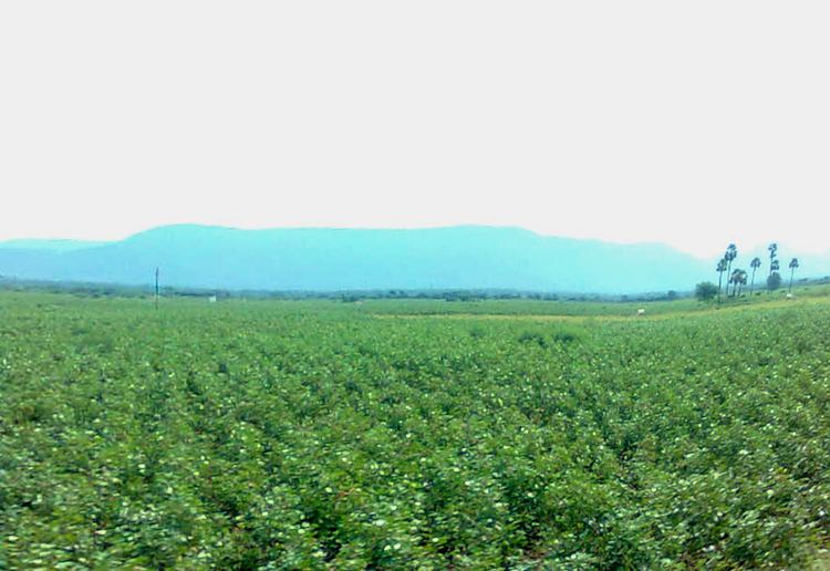
Geography
Mylavaram is located at 16.7833°N 80.6333°E / 16.7833; 80.6333. It has an average elevation of 47 metres (157 feet).
Economy
Agriculture produce includes Banginapalli, Totapuri and other varieties of mangoes in the abundant Mango orchards of Mylavaram. These are exported to cities namely Dubai, Hongkong, London and Singapore.
Assembly constituency
Mylavaram falls in Mylavaram (Assembly constituency) is an assembly constituency of Andhra Pradesh Legislative Assembly. Uma Maheswara Rao Devineni is the present MLA of Telugu Desam Party.
References
Mylavaram Wikipedia(Text) CC BY-SA