
Country Burma Time zone MST (UTC+6.30) | Region Taninthayi Region Elevation 478 m | |
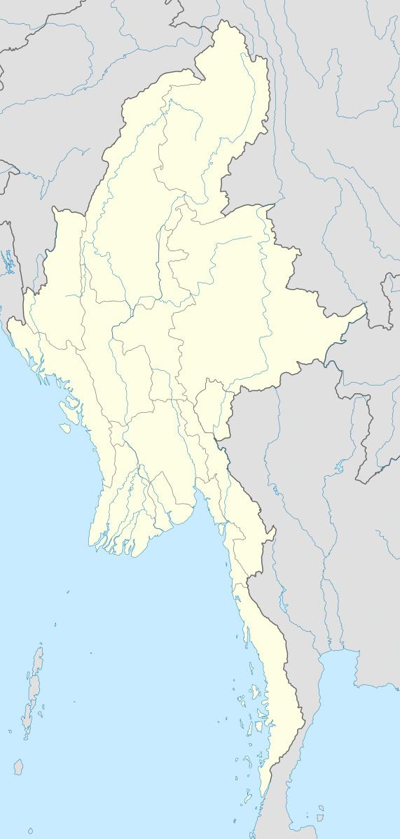 | ||
Myinmoletkat is a village of Dawei District in the Taninthayi Division of Myanmar.
Contents
Map of Myinmoletkat, Myanmar (Burma)
Geography
Myinmoletkat is located east of the Ban River on the western side of the Tenasserim Range. 2,072 m high Myinmoletkat Taung, one of the main summits of the Bilauktaung subrange is located 15 km to the southeast of the village.
References
Myinmoletkat Wikipedia(Text) CC BY-SA