
 | ||
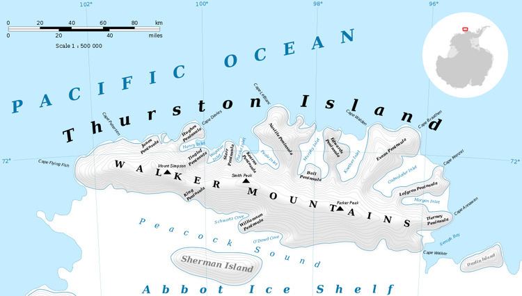
Myers Glacier (72°16′S 100°7′W) is a valley glacier about 7 nautical miles (13 km) long, flowing southwest from Mount Noxon on Thurston Island to Abbot Ice Shelf in Peacock Sound. Delineated from aerial photographs taken by U.S. Navy Squadron VX-6 in January 1960. Named by Advisory Committee on Antarctic Names (US-ACAN) for Lieutenant (j.g.) Dale P. Myers, U.S. Navy, helicopter pilot aboard USS Burton Island who made exploratory flights to Thurston Island in February 1960.
Contents
Map of Myers Glacier, Antarctica
Maps
This article incorporates public domain material from the United States Geological Survey document "Myers Glacier" (content from the Geographic Names Information System).
References
Myers Glacier Wikipedia(Text) CC BY-SA