
Elevation 2,148 m | ||
 | ||
People also search for Kieyo, Monte Muambe, Mount Namuli, Mulanje Massif | ||
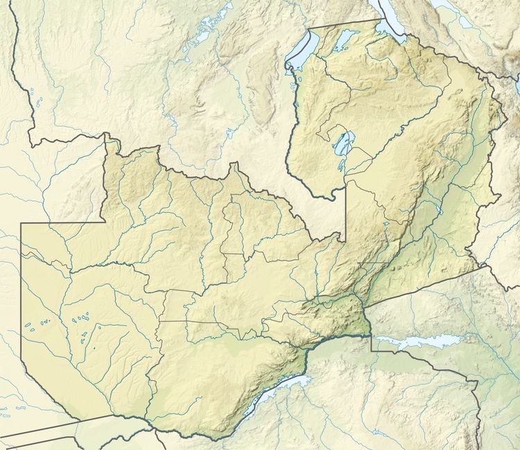
Mwanda Peak is the highest topographical point in the border of Zambia. It is located near the border with Malawi in the thin northeastern arm of Eastern Province, and sits in the Nyika Plateau.
Map of Mwanda Peak
References
Mwanda Peak Wikipedia(Text) CC BY-SA