
Elevation 5-25 m (−80 ft) Population 1,000 (2011) | Talukha Razole Time zone IST (UTC+5:30) Area code 08862 | |
 | ||
Weather 27°C, Wind S at 3 km/h, 88% Humidity | ||
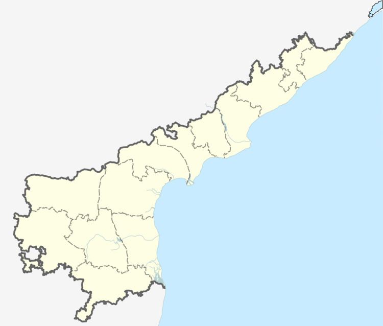
Mutyalapalem (Telugu:ముత్యాలపాలెం) is a village in East Godavari district in the state of Andhra Pradesh, India.
Contents
Geography
Mutyalapalem covers around 412 acres, and has approximately 210 houses. The total population of the village is around 1000. Mutyalapalem is about 3 km (1.9 mi) from the Bay of Bengal. It is part of the Konaseema delta, a triangle formed by the waters of the Godavari River and the delta. It is part of the Amalapuram (Lok Sabha constituency) and the Razole (SC) (Assembly constituency).
Transportation
Mutyalapalem has a single lane road network. The village is 87 km (54 mi) away from district headquarters at Kakinada and 79 km (49 mi) from Rajahmundry. The state capital, Vijayawada, is around 180 km (110 mi) from Mutyalapalem along National Highway 214 (NH 214). The nearest towns are Tatipaka at 13 km (8.1 mi), Razole at 17 km (11 mi), and Malkipuram at 19 km (12 mi).
There are roads from Mutyalapalem to all the nearby tourist sites and to nearby towns by APSRTC buses and cars. The nearest railway station is at Palakollu or Narsapur (32 km (20 mi)), and Rajahmundry Airport is 94 km (58 mi) away, in Madhurapudi.
Economy
Major sources of income in Mutyalapalem are aquaculture and agriculture. Most of the population are daily labourers or farmers. The Kapu (Telaga) community is in the majority in Mutyalapalem; other communities include Balija, Mala, and Madiga. The Godavari delta's black soil is very fertile and local crops include coconut, aquaculture (such as shrimp), paddy & plantains.
Infrastructure
The power source for Mutyalapalem is Razole Sub-station. There is a two-acre drinking water pond with an elevated storage tank; water is supplied by pipeline to most of the houses. There is one school (MPPUP School-Telugu & English Medium) that teaches through the 5th level. For health care, villagers travel to Razole or Jaggannapeta; the Government Hospital is in Razole.
Festivals & Temples
The major festivals in Mutyalapalem are Sankranti, Ugadi, Diwali, Dassera, and Srirama Navami. The village has two Durga Mata temples, two Ramalayams and one church. At festival times, people enjoy cock fighting, riding bullock carts, competitions, dances and playing cards.
Climate
Mutyalapalem has a tropical savanna climate (Köppen climate classification Aw), with little change in temperature throughout the year. May is the hottest month with an average temperature of 37 °C (99 °F), and January is the coolest month with an average temperature near 23 °C (73 °F).
Rain storms and cyclones are common in the region during the rainy season, which starts with the monsoons in early June. Cyclones occur most frequently between August and November. Since Mutyalapalem is located on the Bay of Bengal, the humidity is high throughout the year. Total annual rainfall is about 945 millimetres (37.2 in), most of which falls during the southwest monsoon. October is the wettest month, with about 204 millimetres (8.0 in) of rainfall. November through February is the best time to visit Mutyalapalem, since temperatures are moderate.