
Climate Aw Local time Wednesday 10:02 PM | UFI -2570404 Elevation 366 m | |
 | ||
Time zone East Africa Time (UTC+3) Weather 20°C, Wind NE at 5 km/h, 77% Humidity | ||
Mutukula, sometimes spelled as Mtukula, is a small town in Misenyi District, Kagera Region, in northwestern Tanzania, at the border with Uganda. Formerly, the settlement on the border was known as Kyebisagazi, and Mutukula was a kilometre to the south on the east side of the Masaka-Bukoba Road (B8).
Contents
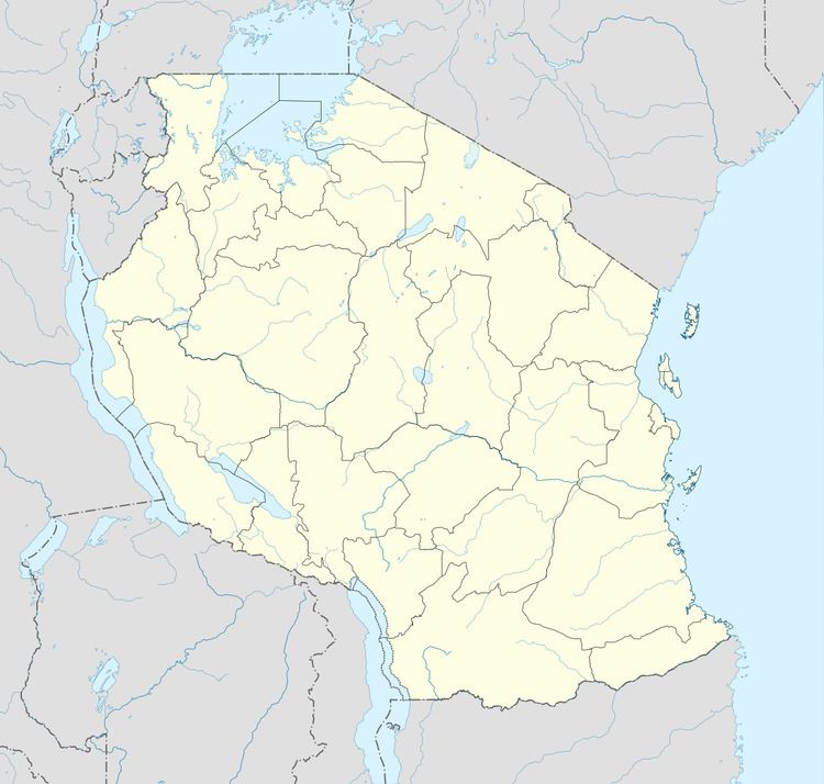
Map of Mutukula, Tanzania
Location
The town is located approximately 70 kilometres (43 mi), by road, northwest of Bukoba, the regional capital.
Population
The 2012 estimated population of Mutukula, Tanzania, was about 5,000. The immediately adjacent town in Uganda is about three times the size.
References
Mutukula, Tanzania Wikipedia(Text) CC BY-SA