
Postcode(s) 2722 LGA(s) Gundagai Council | Elevation 357 m (1,171 ft) County Harden | |
 | ||
Location 24 km (15 mi) from Cootamundra17 km (11 mi) from Coolac | ||
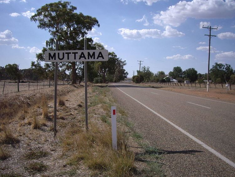
Muttama is a rural community in the central east part of the Riverina. It is situated by road, about 24 kilometres south from Cootamundra and 17 kilometres north from Coolac.
Map of Muttama NSW 2722, Australia
The name Muttama is derived from the local Aboriginal word meaning "like it" or "take it".
Mining in the area began in the 1860s and Muttama prospered with the discovery of significant quantities of gold at Muttama Reef in 1882. Muttama Reef Post Office opened on 1 February 1876, was renamed Muttama in 1889, and closed on 12 October 1979. The village was served by a railway station on the Tumut branch from 1886-1975, when passenger services were discontinued. All goods traffic on line was suspended after flooding in 1984.
References
Muttama, New South Wales Wikipedia(Text) CC BY-SA