
Type Artificial lake Catchment area 170.9 km² | ||
 | ||
Water volume 41,000 acre·ft (50,572,755 m) | ||
Muthuiyankaddu Kulam (Tamil: முத்துஐயன்கட்டு குளம் Muttu'aiyaṉkaṭṭu Kuḷam) is an irrigation tank in northern Sri Lanka, approximately 4 mi (6 km) north west of Oddusuddan.
Contents
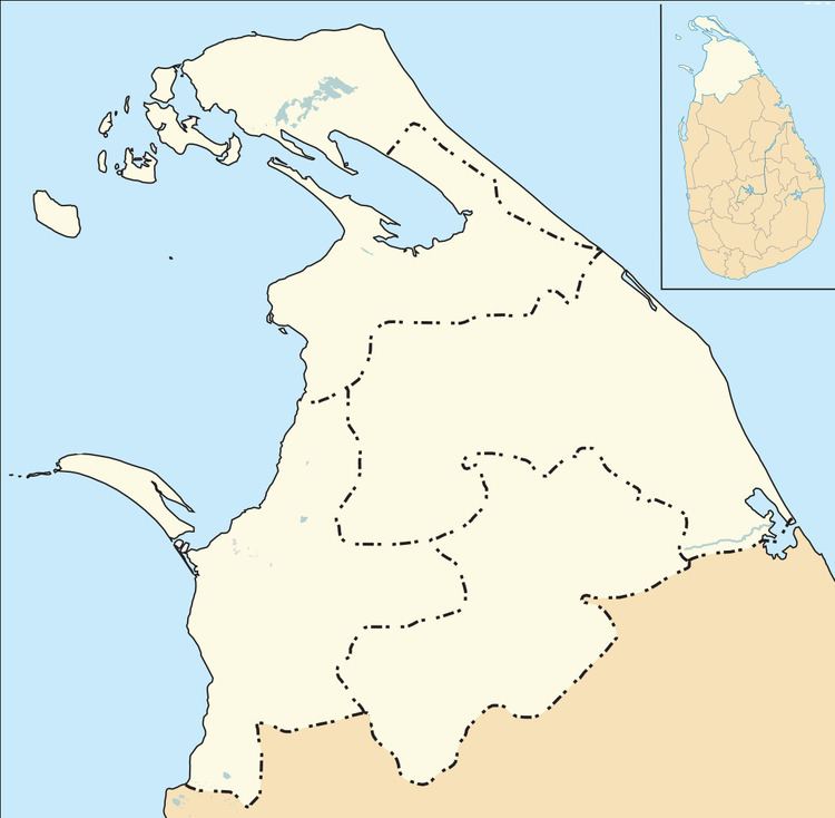
Map of Muthuaiyankaddu Kulam, Sri Lanka
History
The tank on Per Aru was earlier knowns as Muthu Rayan Kaddu Kulam and Man Malai. Restoration of the tank, which had a catchment area of 66 sq mi (171 km2), commenced in 1959.
By the late 1960s the tank's bund was 5,850 ft (1,783 m) long and 27 ft (8 m) high whilst the tank's storage capacity was 41,000 acre·ft (50,572,755 m3) and its water spread area was 3,100 acres (1,255 ha). There was a 500 ft (152 m) spill on the right bank. The left and right bank sluices were each 3 ft 3 in by 4 ft 6 in. By 2014 the tank was capable of irrigating 6,100 acres (2,469 ha).
References
Muthuiyankaddu Kulam Wikipedia(Text) CC BY-SA