Population 14,545 (2011) | Time zone IST (UTC+5:30) Sex ratio 908 ♂/♀ | |
 | ||
Muthadanga bus rasta
Muthadanga is a village under Arambagh bloc and police station in Arambagh subdivision of Hooghly district in the Indian state of West Bengal.
Contents
- Muthadanga bus rasta
- Muthadanga circle eccs at masenjor dam
- Geography
- Demographics
- Economics
- Education
- Transport
- Climate
- References
Muthadanga circle eccs at masenjor dam
Geography
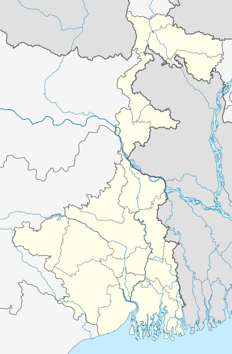
Muthadanga is located at 22.87°N 87.92°E / 22.87; 87.92.
Demographics
Muthadanga has a population of 38,214.58%male and 42% are female.
Economics
This is a rich agricultural area with several cold storages. Chief products are potato and rice.
Education
Muthadanga high school is major school in Muthadanga.There are 3 primary school in Muthadanga.
Transport
The Arambagh Tarakeswar line crossing through the Muthadanga.It is a state high way.
Climate
The temperature in the summer is 28 to 32 and in winter 10 to 19.Average rainfall 175 cm.
References
Muthadanga Wikipedia(Text) CC BY-SA
