
- left Butchers Creek - location west of Lucas Point | - elevation 702 m (2,303 ft) - elevation 55 m (180 ft) | |
 | ||
- location west of Snowy River National Park | ||
The Murrindal River is a perennial river of the Snowy River catchment, located in the East Gippsland region of the Australian state of Victoria.
Contents
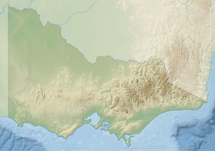
Map of Murrindal River, Buchan VIC, Australia
Course and features
The Murrindal River rises below Butchers Ridge, and flows generally south, joined by one minor tributary, before reaching its confluence with the Buchan River west of Lucas Point in the Shire of East Gippsland. The river descends 647 metres (2,123 ft) over its 42-kilometre (26 mi) course.
At the locality of Murrindal, the river is traversed by the Gelantipy Road.
The traditional custodians of the land surrounding the upper reaches of the Murrindal River are the Australian Aboriginal Bidawal and Nindi-Ngudjam Ngarigu Monero peoples; while in its lower reaches, the Gunaikurnai people identify the land surrounding Buchan as their traditional country.