
Lake type Glacial Lake Max. length 1.9 km (1.2 mi) Surface elevation 315 m Width 500 m Number of islands 0 | Primary inflows Basin countries Canada Max. width .5 km (0.31 mi) Length 1.9 km Inflow source Thompson Lake | |
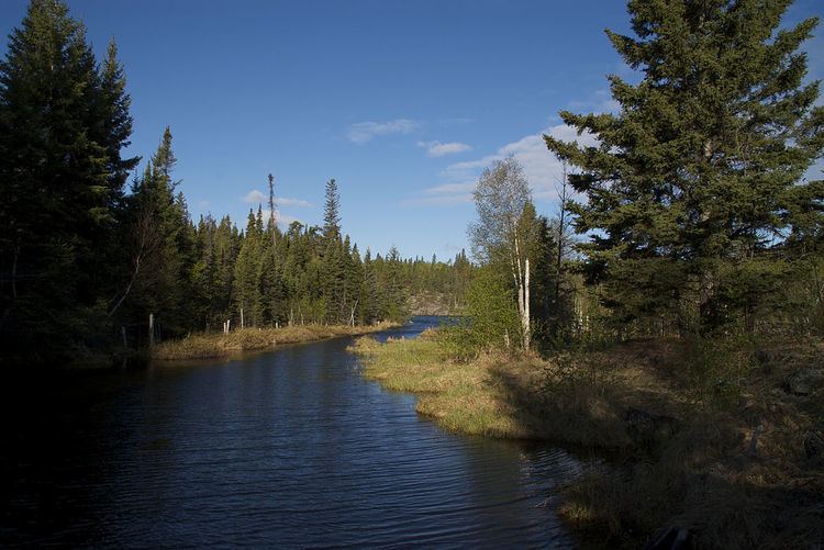 | ||
Murray Lake is a glacial lake approximately 11 kilometres (6.8 mi) northeast of Bakers Narrows which drains into Lake Athapapuskow. It is part of the Nelson River watershed, in the Hudson Bay drainage basin in the Northern Region of Manitoba, Canada. The lakes sits in Churchill River Upland portion of the Midwestern Canadian Shield forests and is surrounded by mixed forest with stands of black spruce, white spruce, jack pine, and trembling aspen. The shoreline is characterized by steeply sloping irregular rock ridges and poorly drained areas of muskeg.
Map of Murray Lake, Division No. 21, Unorganized, MB, Canada
The lake was named to honor a pair of brothers named Murray who prospected on the lake. The name was officially adopted in 1941
References
Murray Lake (Manitoba) Wikipedia(Text) CC BY-SA