
- right Forbach Source elevation 875 m Mouth Rhine | Length 96 km Source Black Forest Country Germany | |
 | ||
- left Tonbach, Schönmünz, Raumünzach, Oos River (North channel) - location Obertal, Baiersbronn, Freudenstadt District - location Steinmauern, Rastatt District - average 18.44 m/s (651 cu ft/s) | ||
The Murg is an 80.2-kilometre-long river (including its headstream, the Rechtmurg) and a right tributary of the Rhine in Baden-Württemberg, Germany. It flows through the Northern Black Forest into the Upper Rhine Plain, crossing the counties of Freudenstadt and Rastatt.
Contents
Map of Murg, Germany
CourseEdit
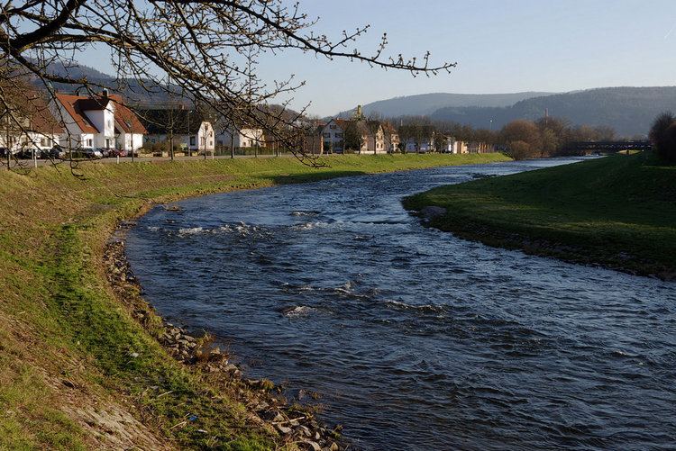
From the confluence of the Rotmurg and Rechtmurg, the Murg flows east to Baiersbronn, then north through Forbach, Gernsbach and Gaggenau. It then turns northwest through Rastatt and reaches the Rhine at kilometre 344.5 at the community of Steinmauern.
WatershedEdit
The Murg flows through one of the largest valleys of the Black Forest, the Murg Valley in the west of the Northern Black Forest, then through the Upper Rhine Plain, primarily north and northwest. Its drainage basin covers 617 square kilometres (238 sq mi).
River modificationsEdit
The mouth of the Murg was shifted 1.5 kilometres (0.9 mi) northwest when the course of the Rhine was straightened in the 19th century by engineer Johann Gottfried Tulla.
HistoryEdit
The Murg historically was important for timber rafting. Wood was rafted first as far as Steinmauern, where it was dried and combined into bigger rafts. From Steinmauern the larger rafts were floated down to Mannheim and onward to the Netherlands.
TransportEdit
The Murg Valley Railway and the Black Forest Valley Highway (Bundesstraße 462) follow the Murg Valley. Both are amongst the most notable transportation routes in Germany for civil engineering and natural beauty.