
Country Canada Time zone MST (UTC-7) Elevation 825 m Population 192 (2016) Province Alberta | Highways 9 Area 2.6 km² Local time Tuesday 1:30 PM | |
 | ||
Weather 2°C, Wind SE at 37 km/h, 53% Humidity | ||
Google road trip munson alberta canada to slave lake alberta canada
Munson is a village in central Alberta, Canada. It is located 13 km north of the town of Drumheller along Highway 9 and the Canadian National Railway tracks.
Contents
- Google road trip munson alberta canada to slave lake alberta canada
- Map of Munson AB Canada
- History
- Demographics
- References
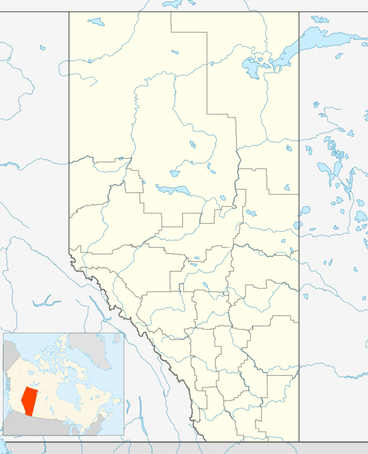
Map of Munson, AB, Canada
History
Prior to the end of World War I, Munson was the site of a Ukrainian Canadian internment camp where the prisoners laboured on the railway. The camp, which remained open until March 21, 1919, consisted of shelters made of railway cars.
Demographics
In the 2016 Census of Population conducted by Statistics Canada, the Village of Munson recorded a population of 192 living in 82 of its 89 total private dwellings, a 2999410009999999999♠−5.9% change from its 2011 population of 204. With a land area of 2.53 km2 (0.98 sq mi), it had a population density of 75.9/km2 (196.6/sq mi) in 2016.
In the 2011 Census, the Village of Munson had a population of 204 living in 81 of its 89 total dwellings, a -6% change from its 2006 population of 217. With a land area of 2.6 km2 (1.0 sq mi), it had a population density of 78.5/km2 (203.2/sq mi) in 2011.
In 2006, Munson had a population of 217 living in 80 dwellings, a 2.3% decrease from 2001. The village has a land area of 2.60 km2 (1.00 sq mi) and a population density of 83.6/km2 (217/sq mi).