
Time zone IST (UTC+5:30) | State Delhi Metro New Delhi Local time Wednesday 12:21 AM | |
 | ||
Planning agency Municipal Corporation of Delhi Weather 24°C, Wind W at 0 km/h, 50% Humidity | ||
Munirka is an urban area in South West Delhi, located near Jawaharlal Nehru University (JNU) and Indian Institute of Technology Delhi (IIT Delhi) Campuses.
Contents
Map of Munirka, New Delhi, Delhi 110067
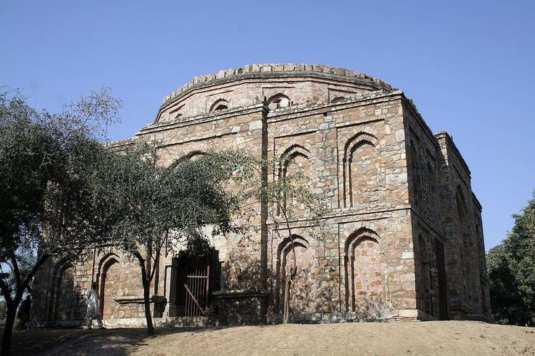
Munirka's history dates back to the 15th century. The name Munirka is derived from Munir Khan, who was a mansabdar of the area. Its neighbourhood consists of the JNU campus on the south, Vasant Vihar on the North-West, RK Puram on northern side and IIT campus and Ber sarai on south-eastern front. The outer ring road forms the north to east boundary of the suburb. It provides shelter to a lot of religion under one roof. Inside Munirka streets are very narrow, typically 2.2-2.5m wide. The nearest metro station is Hauz Khas, though a new metro station is currently under construction near the flyover.
Geography
Munirka is divided primarily into four areas:
- DDA Flats Munirka
- Munirka Vihar
- Munirka Enclave
- Munirka Village