
Country Canada Census division No. 15 Incorporated 1995 Population 92 (2016) | Region Southern Alberta Established 1995 Time zone MST (UTC-7) Province Alberta | |
 | ||
Weather -1°C, Wind SE at 23 km/h, 70% Humidity | ||
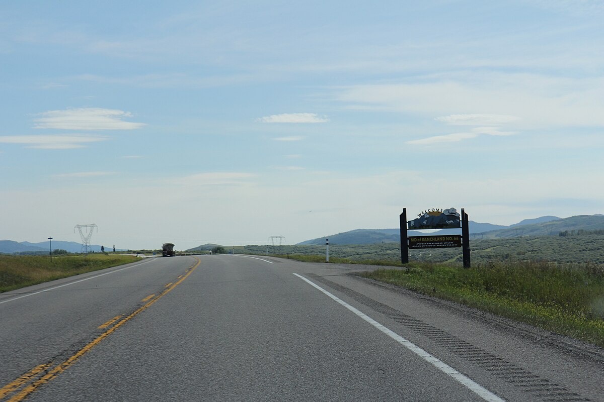
The Municipal District of Ranchland No. 66 is a municipal district in southwest Alberta, Canada. Located in Census Division No. 15, its municipal office is located in Chain Lakes Provincial Park, approximately 38 km (24 mi) southwest of the Town of Nanton.
Contents
History
The municipal district was incorporated in 1995 from the Improvement District No. 6.
Demographics
In the 2016 Census of Population conducted by Statistics Canada, the Municipal District of Ranchland No. 66 recorded a population of 92 living in 38 of its 57 total private dwellings, a 7001165000000000000♠16.5% change from its 2011 population of 79. With a land area of 2,638.7 km2 (1,018.8 sq mi), it had a population density of 0.0/km2 (0.1/sq mi) in 2016.
The Municipal District of Ranchland No. 66's 2013 municipal census counted a population of 104.
In the 2011 Census, the Municipal District of Ranchland No. 66 had a population of 79 living in 31 of its 45 total dwellings, a -8.1% change from its 2006 population of 86. With a land area of 2,639.16 km2 (1,018.99 sq mi), it had a population density of 0.0/km2 (0.1/sq mi) in 2011.
In 2006, Ranchland No. 66 had a population of only 86, living in 39 dwellings, a 10.4% decrease from 2001. The municipal district has a land area of 2,639.16 km2 (1,018.99 sq mi) and a population density of 0.0/km2 (0/sq mi).
In 2001, the municipal district was the least populated in Alberta, with only 108 in 61 dwellings, an 11.1% decrease from 1996. On a surface of 2,639.16 km² it had a density of 0.1 inhabitants/km².
Communities
There are no communities located within the Municipal District of Ranchland No. 66.