
Country Canada Census division No. 4 Incorporated 1945 Area 1,076 km² Capital Acadia Valley | Region Southern Alberta Established 1913 Time zone MST (UTC-7) Population 493 (2016) Province Alberta | |
 | ||
The Municipal District (M.D.) of Acadia No. 34 is a municipal district in southern Alberta, Canada, east of Calgary, close to the Saskatchewan border, in Census Division No. 4.
Contents
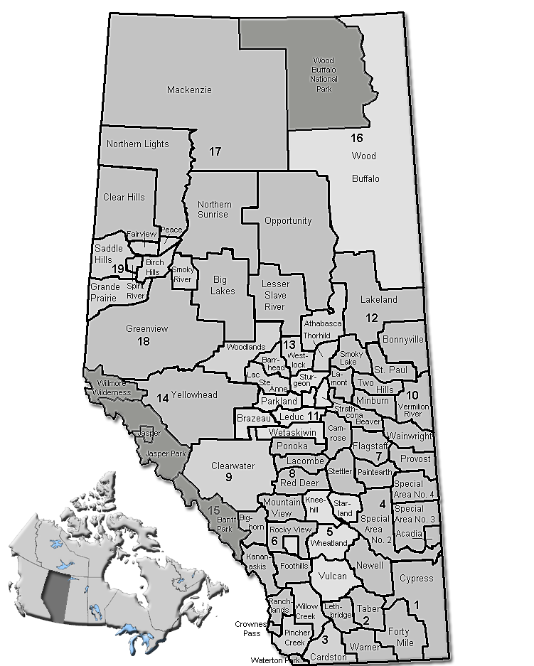
Map of Acadia No. 34, AB, Canada
It is located on Highway 41 on the north side of the Red Deer River and bordered on the east by Saskatchewan. Highway 41 is a main route between Medicine Hat and Cold Lake.
Demographics
In the 2016 Census of Population conducted by Statistics Canada, the Municipal District of Acadia No. 34 recorded a population of 493 living in 159 of its 184 total private dwellings, a 3000600000000000000♠−0.4% change from its 2011 population of 495. With a land area of 1,082.6 km2 (418.0 sq mi), it had a population density of 0.5/km2 (1.2/sq mi) in 2016.
In the 2011 Census, the Municipal District of Acadia No. 34 had a population of 495 living in 151 of its 161 total dwellings, a -9.2% change from its 2006 population of 545. With a land area of 1,076.26 km2 (415.55 sq mi), it had a population density of 0.5/km2 (1.2/sq mi) in 2011.
In 2006, the M.D. of Acadia No. 34 had a population of 545 living in 176 dwellings, a 6.4% increase from 2001. The municipal district has a land area of 1,076.26 km2 (415.55 sq mi) and a population density of 0.5/km2 (1.3/sq mi).