PIN 473443 Elevation 472 m Local time Tuesday 9:50 PM ISO 3166 code ISO 3166-2:IN | Time zone IST (UTC+5:30) Telephone code 07548 Population 40,000 (2011) Area code 07548 | |
 | ||
Weather 25°C, Wind E at 3 km/h, 37% Humidity | ||
Mungaoli is a town and a nagar panchayat in Ashoknagar district in the Indian state of Madhya Pradesh. It is situated on the Bina-Kota railway line.its std code is 07548 and pin code is 473443.Ganesh Shankar Vidyarthi Indian independence movement activist and journalist lived here for sometime. Mungaoli is also famous for open jail
Contents
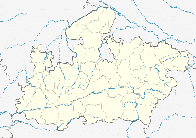
Map of Mungaoli, Madhya Pradesh 473443
Geography
Mungaoli is located at 24.42°N 78.1°E / 24.42; 78.1. It has an average elevation of 472 metres (1549 feet). it is a centre of India. It is a peaceful town. Betwa River is only 5 km far from Mungaoli Mungaoli is situated near Chanderi which is a very famous for the old temples and also for Baiju Bawra's Tomb (or Baijnath Prasad or Baijnath Mishra (1542–1613) was an Indian dhrupad singer)
Demographics
As of 2013 India census, Mungaoli had a population of 40000. Males constitute 51% of the population and females 49%. Mungaoli has an average literacy rate of 69%, higher than the national average of 58.5%: male literacy is 74%, and female literacy is 58%. In Mungaoli, 20% of the population is under 2 years of age.
