
Population 345 (2006 census) County Rous Postal code 2470 | Postcode(s) 2470 Parish Mummulgum Elevation 115 m Local time Wednesday 1:46 AM | |
 | ||
Weather 22°C, Wind NW at 3 km/h, 98% Humidity | ||
Mummulgum 240 acres of prime australian farmland
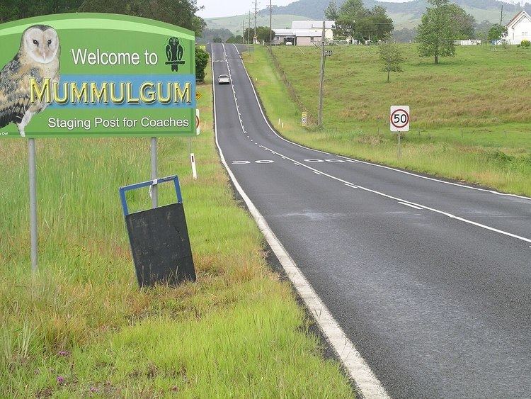
Mummulgum is a small rural village in the Northern Rivers region of New South Wales, Australia, 740 kilometres from the state capital, Sydney. Mummulgum is located on Shannon Brook between Tenterfield and Casino on the Bruxner Highway (Highway 44). It is 58 km south-west of Kyogle with the village and surrounding area being locally administered by Kyogle Council. The nearest large town is Casino which is 27 kilometres east of Mummulgum.
Contents
- Mummulgum 240 acres of prime australian farmland
- Map of Mummulgum NSW 2469 Australia
- Population
- References
Map of Mummulgum NSW 2469, Australia
Mummulgum 240 acres of prime australian farmland
Population
According to the 2006 Census, there were 345 people living in Mummulgum and the surrounding area. The main form of employment was in agricultural production. On 29 September 2001, Mummulgum Public School celebrated its centenary.
References
Mummulgum Wikipedia(Text) CC BY-SA