
Alternate name Tall Munbāqa, Ekalte Type Tell Condition ruins | Location Tabqa, Syria Part of Settlement Archaeologist Winfried Orthmann | |
 | ||
Archaeologists Winfried Orthmann, Alfred Werner Maurer, | ||
Tall Munbāqa (also Ekalte (Mumbaqat)) is a 5000-year-old town complex in northern Syria now lying in ruins.
Contents
Geographical location
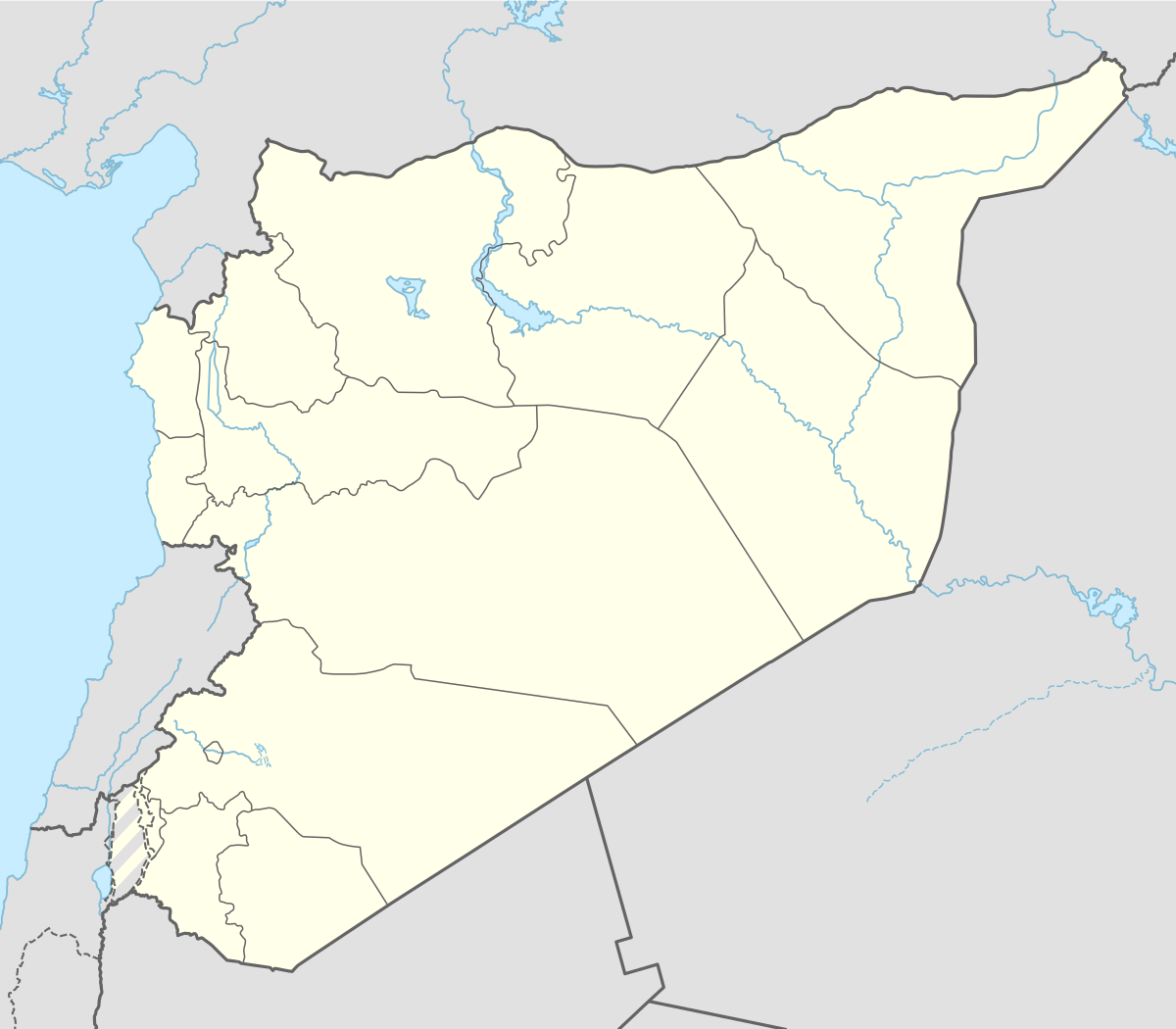
The ruins are located on the east bank of the upper course of the Euphrates, on the steep slope of the former river valley. In the 3rd and 2nd millennium BC, the city was an important city-state in the region. Due to the establishment of the Tabqa Dam at Al-Thawrah, 35 kilometers west of Raqqa, the city ruins are partially flooded today. The situation in the dam area has changed dramatically in the years since the establishment of the excavations in 1969. In the Euphrates valley, whose image was marked by the green of the cotton and the wide river, a large artificial lake has been formed, which has partially flooded the ruined city. It most affected the west bank, with its flat river terraces that were flooded first. Situated high above the steep drop of the eastern shore, Tall Munbāqa is still preserved.
The exposed during the 1974 excavation East Gate is located on ♁ 36 ° 13 '9 " N , 38 ° 7 '54 " O36.219159 38.131635, the south gate on ♁ 36 ° 13 '1 " N , 38 ° 7 '44 " O36.217047 38.12891 . The exposed during the 1974 excavation East Gate is located on ♁ 36 ° 13 '9 " N , 38 ° 7 '54 " O36.219159 38.131635, the south gate on ♁ 36 ° 13 '1 " N , 38 ° 7 '44 " O36.217047 38.12891 .
City development
The Euphrates was one of the highways, the Asia with the Mediterranean combined. Of course one of the main trade routes between the Sumerian and later Babylonian centers of power and the Syrian coastal cities and the immediate access to the main navigable river can be considered as one of the basic motives for founding this city. Trade was driving to urban planning. Town authorities and city destruction characterize the Urbanisationsfieber of the 3rd and 2nd millennium BC in northern Syria, where the river from the Armenian highlands turns to the south-east, 200 km from the nearby Mediterranean were major trading centers. From there, the road passes over the northern Syrian plateau of Aleppo. Starting from the 4th millennium BC, Sumerian trading sites are detectable here. In the 3rd millennium, the height of the cultural and economic development, according to the model developed chiefdom Sumerian cities. The Old Syrian kingdom reached the 2nd millennium BC to the Euphrates. The Mitannistaat the Hurrians dominated a few centuries out the northeast of the modern-day Syria to the Euphrates. In the 14th century BC ruled the Hittites northern Syria and the Euphrates was the boundary area between the Assyrian and Hittite Empire. Around 1200 BC settled the Syrians on the Euphrates. This eventful history may be seen from the numerous ruins of hills along the 90 km long reservoir. One of the largest excavated ruins of this ancient cultural landscape Tall Munbāqa.
Exploration of Tall Munbāqa
In 1907, the English explorer discovered the ruins, drew up a plan and described the ramparts: "Munbayah where my tents were pitched - the Arabic name means only a high-altitude course - was probably the Bersiba in Ptolemy's list of city names. It consists of a double ramparts, situated on the river bank." Though Gertrude Bell was wrong in the localization of Bersiba, she did recognize the importance of the mound for the study of the oriental city. The 400 m x 500 m, rectangular town ruins, once strongly fortified, were documented and investigated 1964, on the occasion of the inspection of the area for a proposed reservoir. The German Oriental Society requested an excavation permit for the mound in 1968. In 1969-1970, Ernst Heinrich of the Berlin Institute of Technology measured the visible remains and in 1971 the excavation of these remains were carried out. In 1973 and 1974, excavations were led by Winfried Orthmann and in 1977 by Alfred Werner Maurer, both of the University of Saarbrücken. From 1979 on Dittmar Machule of the Technical University of Hamburg-Harburg was the director. During the excavations in 1973, 1974 and 1977 up to 16 scientists and 90 local workers were involved in the excavations. Thanks to the discovery of 15 Late Bronze Age clay tablets mentioning the name of the city, it is now believed that it was known in this period as "Ekalte" and it has been suggested that earlier, in the Old Babylonian period, the city bore the name Yakaltum.{{}}