Established 1900 Founded 1900 | Postcode(s) 6436 Elevation 496 m Postal code 6436 | |
 | ||
Location 706 km (439 mi) ENE of Perth55 km (34 mi) SW of Menzies Weather 19°C, Wind E at 26 km/h, 72% Humidity | ||
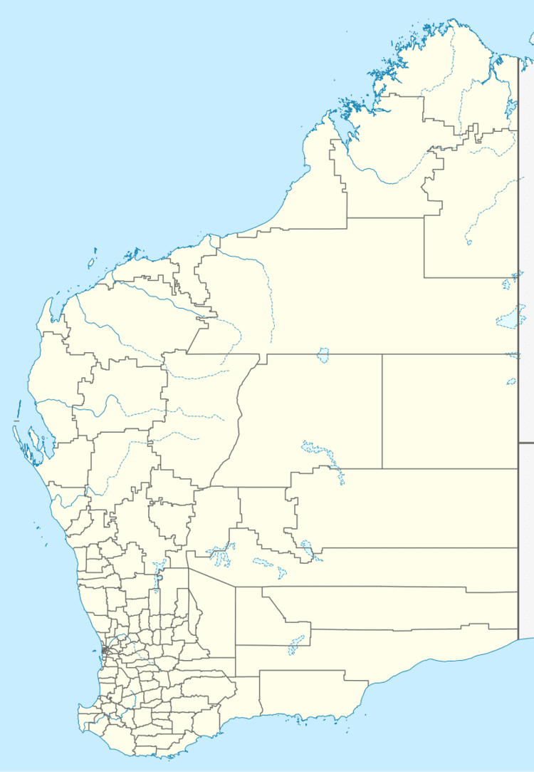
Mulwarrie is an abandoned town located in the Goldfields-Esperance region in Western Australia. It is found between Kalgoorlie and Leonora.
Known locally as Mount Higgins the progress association asked for a townsite to be declared in the area in 1900. The Land Department obliged and carried out a survey later the same year and the townsite was gazetted as Mulwarrie in 1900.
The name of the town is thought to be of Aboriginal origin but of unknown meaning. It is also possible that the town was named after Mulwarrie in the Victorian goldfields. The name was first recorded in 1900 when the area was surveyed.
About a half mile of main street had houses and businesses spread over the distance. A police presence was established in 1901 when a camp was set up, a station being built later which was then closed in 1905. A temporary telegraph station was also set up in 1901.
In 1901 the Moonshine mine in Mulwarrie crushed 30 tons of ore at the State battery to yield 298oz 10dwt of gold, which was a record return for a government battery.
A school with a single teacher existed in the town in 1903.
