Time zone PST (UTC+8) Dialing code +63 (0)63 | Barangays ZIP code 9702 Area 458.7 km² | |
 | ||
Region Autonomous Region in Muslim Mindanao (ARMM) | ||
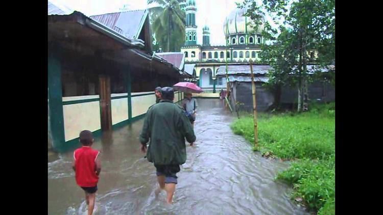
Chs alumni association medical mission at mulondo lanao del sur
Mulondo is a third class municipality in the province of Lanao del Sur, Philippines. According to the 2015 census, it has a population of 16,067 people.
Contents
- Chs alumni association medical mission at mulondo lanao del sur
- Map of Mulondo Lanao del Sur Philippines
- Etymology
- Geography
- Barangays
- References
Map of Mulondo, Lanao del Sur, Philippines
Etymology
Its name is derived from the Maranao dialect, which means "People of Lake"
Geography
Formerly known as Bato Intan, it is geographically situated east from Masiu, one of the four (4) Principalities of Lanao (Pangampong A Ranao), the governing bodies of the Lanao Sultanate. Strategically located in the 1st District of Lanao del Sur where it is partially urban.
Barangays
Mulondo is politically subdivided into 26 barangays.
References
Mulondo, Lanao del Sur Wikipedia(Text) CC BY-SA
