Primary outflows Nasva River Average depth 1.0 m (3.3 ft) Mean depth 1 m | Surface area 1,440 ha (3,600 acres) Max. depth 2.1 m (6.9 ft) Area 14.4 km² Outflow location Nasva | |
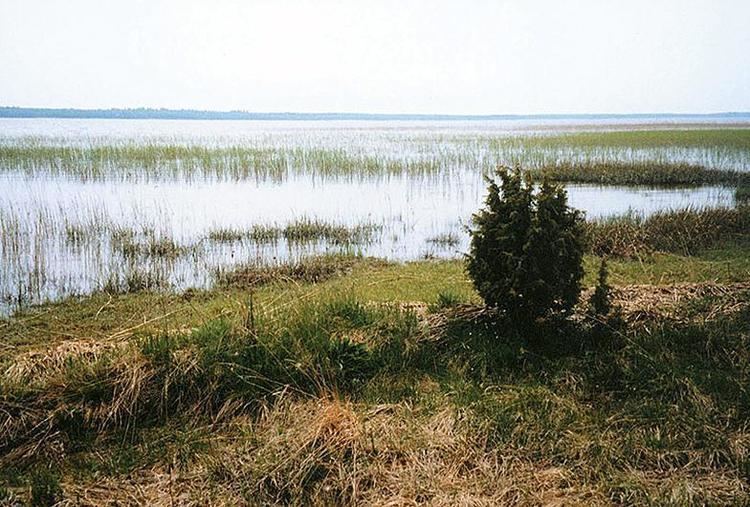 | ||
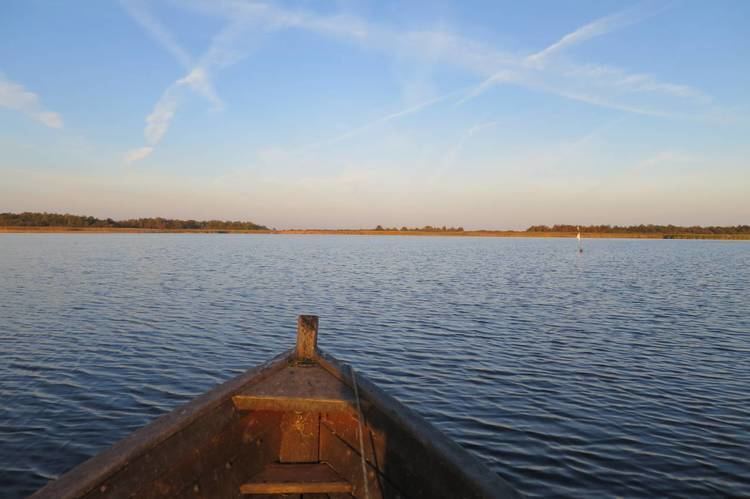
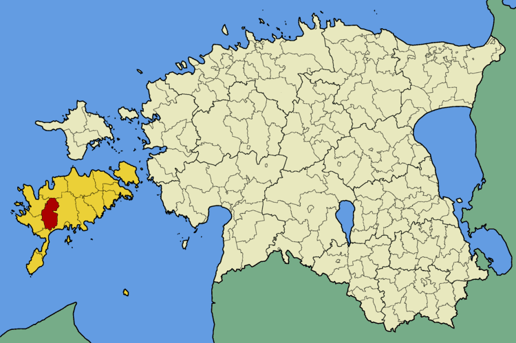
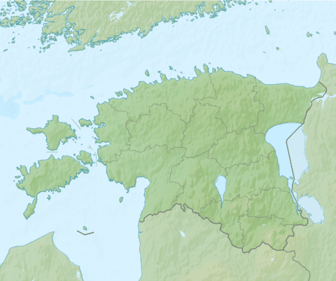
Mullutu-Suurlaht (also Mullutu Suurlaht) is the fourth largest lake in Estonia. It is located on the island of Saaremaa, about 2 km west of the town of Kuressaare. It has an area of 1,440 ha (3,600 acres) and the max. depth is 2.1 metres (6.9 ft). Mullutu-Suurlaht is a brackish waterbody that consists of two parts:
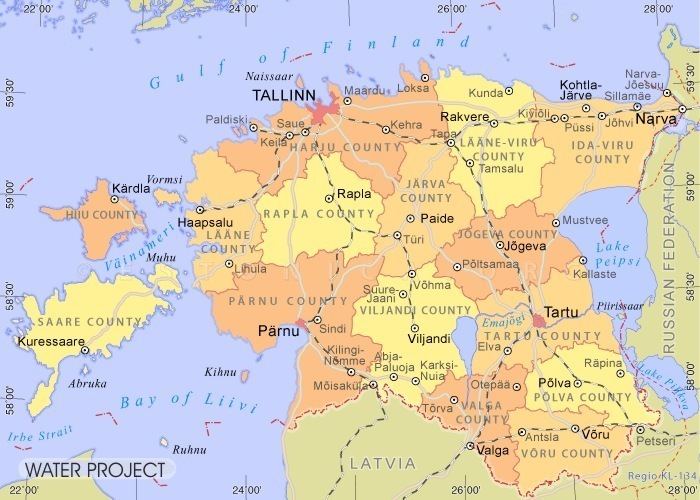
During the regular flood in spring (usual rise is 0.75 metres, max 1.16 m) Mullutu-Suurlaht merges with nearby Paadla, Vägara and Kaalupea bays and draws a temporary waterbody up to 3,600 ha (8,900 acres). Mullutu-Suurlaht is drained by the 3 km long Nasva River. Due to a strong connection with sea through Nasva river the lake is rich in fish, main species include bleak, burbot, crucian carp, dace, eel, gudgeon, ide, perch, pike, ruffe, roach, rudd and tench.