
Country United States FIPS code 26-56140 Area 2.69 km² Zip code 48861 Population 558 (2013) | Time zone Eastern (EST) (UTC-5) GNIS feature ID 0633112 Elevation 263 m Local time Tuesday 6:39 AM Area code 517 | |
 | ||
Weather 2°C, Wind W at 5 km/h, 87% Humidity | ||
Mulliken is a village in Eaton County in the U.S. state of Michigan. The population was 553 at the 2010 census. The village is within Roxand Township.
Contents
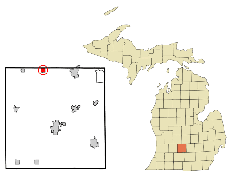
Map of Mulliken, MI 48861, USA
Geography
According to the United States Census Bureau, the village has a total area of 1.04 square miles (2.69 km2), all land.
2010 census
As of the census of 2010, there were 553 people, 202 households, and 156 families residing in the village. The population density was 531.7 inhabitants per square mile (205.3/km2). There were 223 housing units at an average density of 214.4 per square mile (82.8/km2). The racial makeup of the village was 96.6% White, 0.2% Native American, 0.9% from other races, and 2.4% from two or more races. Hispanic or Latino of any race were 3.1% of the population.
There were 202 households of which 38.1% had children under the age of 18 living with them, 57.9% were married couples living together, 12.4% had a female householder with no husband present, 6.9% had a male householder with no wife present, and 22.8% were non-families. 16.8% of all households were made up of individuals and 5% had someone living alone who was 65 years of age or older. The average household size was 2.71 and the average family size was 2.97.
The median age in the village was 35.3 years. 24.8% of residents were under the age of 18; 8.8% were between the ages of 18 and 24; 29.6% were from 25 to 44; 28.4% were from 45 to 64; and 8.5% were 65 years of age or older. The gender makeup of the village was 52.4% male and 47.6% female.
2000 census
As of the census of 2000, there were 557 people, 195 households, and 151 families residing in the village. The population density was 534.2 per square mile (206.8/km²). There were 201 housing units at an average density of 192.8 per square mile (74.6/km²). The racial makeup of the village was 96.23% White, 0.72% African American, 0.54% Native American, 0.18% Asian, 0.90% from other races, and 1.44% from two or more races. Hispanic or Latino of any race were 2.15% of the population.
There were 195 households out of which 41.0% had children under the age of 18 living with them, 64.1% were married couples living together, 10.3% had a female householder with no husband present, and 22.1% were non-families. 15.4% of all households were made up of individuals and 5.6% had someone living alone who was 65 years of age or older. The average household size was 2.83 and the average family size was 3.13.
In the village, the population was spread out with 26.8% under the age of 18, 9.3% from 18 to 24, 33.2% from 25 to 44, 21.7% from 45 to 64, and 9.0% who were 65 years of age or older. The median age was 35 years. For every 100 females there were 107.1 males. For every 100 females age 18 and over, there were 101.0 males.
The median income for a household in the village was $50,391, and the median income for a family was $52,375. Males had a median income of $41,094 versus $27,500 for females. The per capita income for the village was $18,181. About 1.4% of families and 3.6% of the population were below the poverty line, including 4.5% of those under age 18 and 7.3% of those age 65 or over.