
Country United States Time zone CST (UTC-6) Area 122.8 km² Population 1,361 (2010) | Settlement November 6, 1888 Elevation 174 m Local time Tuesday 4:06 AM | |
 | ||
ZIP codes 62017, 62246, 62262, 62284 Weather 8°C, Wind N at 14 km/h, 95% Humidity | ||
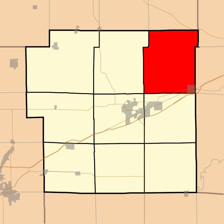
Mulberry Grove Township is one of nine townships in Bond County, Illinois, USA. As of the 2010 census, its population was 1,361 and it contained 610 housing units.
Contents
- Map of Mulberry Grove Township IL USA
- Geography
- Cities
- Unincorporated towns
- Cemeteries
- Major highways
- Lakes
- School districts
- Political districts
- References
Map of Mulberry Grove Township, IL, USA
Geography
According to the 2010 census, the township has a total area of 47.43 square miles (122.8 km2), of which 47.03 square miles (121.8 km2) (or 99.16%) is land and 0.4 square miles (1.0 km2) (or 0.84%) is water.
Cities
Unincorporated towns
Cemeteries
The township contains these seven cemeteries: Dunkard, Durr, Etcheson, Hastings, Liberty, Neathery and Snow.
Major highways
Lakes
School districts
Political districts
References
Mulberry Grove Township, Bond County, Illinois Wikipedia(Text) CC BY-SA