
Length 93 km River system Red River of the South | Source Texas | |
 | ||
Main source Armstrong County, Texas
3,443 ft (1,049 m) River mouth Hall County, Texas
2,029 ft (618 m) Tributaries Left:
Big Sandy Creek
Right:
Cottonwood Creek | ||
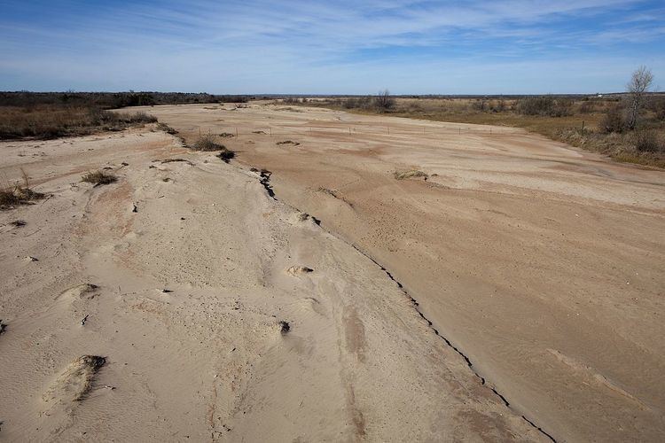
Mulberry Creek is an intermittent stream about 58 mi (93 km) long, formed as a shallow draw on the high plains of the Llano Estacado in Armstrong County, Texas, and flowing southeastward to join the Prairie Dog Town Fork Red River in Hall County, Texas.
Geography
The upland portion of Mulberry Creek is an ephemeral draw that flows only during heavy rainstorms with significant runoff. Mulberry Creek initially runs southeastward across Armstrong County and drops off the Caprock just south of Claude, Texas. The stream then continues in a southeasterly direction across sparsely populated ranch country of eastern Armstrong and western Hall counties before merging with the Prairie Dog Town Fork Red River.
Overall, Mulberry Creek descends 1,414 ft (431 m) from its headwaters to its confluence with the Prairie Dog Town Fork, passing through flat to moderately steep terrain along its course.