
 | ||
Lok Sabha Constituency Alathur (Constituency #9) | ||
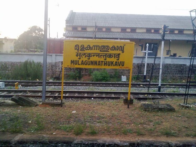
Mulakunnathukavu ( /mʊlɑːkunnɑːθʊkɑːvʊˌˈɡrɑːmɑːˌpənˈtʃɑːjθ/ mula-KKUN-nathu-KA-vu GRA-ma pan-CHA-yth; Malayalam: മുളകുന്നത്തുകാവ് ഗ്രാമ പഞ്ചായത്ത്), is part of Puzhakkal block, in Thrissur taluk, in Thrissur district. It is located 9 kilometres (5.6 mi) north of Thrissur city. KILA is located here
Contents
- Map of Mulagunnathukavu Killannur Kerala 680581
- Transportation
- Etymology
- History
- Wards in the village
- References
Map of Mulagunnathukavu, Killannur, Kerala 680581
Transportation
Etymology
The word "Mulakunnathukavu" can be broken down as, Mula-kunnathu-kavu.
In Malayalam it means ...
This translates to ...
There are different spellings of this panchayat, in various texts, and hence it is worth having a comprehensive list, of all the misspellings ...
Correct Spelling: Mulakunnathukavu
History
In ancient days it was then part of Vijayapuram "pravrithi" in Trichur "taluq".
Mulakunnathukavu Grama Panchayat was previously known as "Killannur Grama Panchayat"
Wards in the village
The group of villages forming the wards given in the table below are together governed by Mulakunnathukavu Grama Panchayat. For the purposes of census, the area under Mulakunnathukavu Grama Panchayat comes under Killannur (CT).