
Alternative name(s) Grange Excavation date 1959 | Type Marching camp Excavation dates 1959 Archaeologist Kenneth St Joseph | |
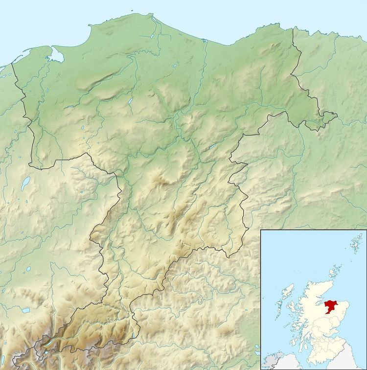 | ||
Muiryfold was one of the Roman fortifications built by Septimius Severus in northern Caledonia (modern-day Scotland). The site is located 6 kilometres (3.7 mi) east of Keith in Moray.
Contents
Discovery and excavation
The site was discovered by aerial photography in 1959, and two small trenches were excavated across the north west and south east sides by Kenneth St Joseph the same year.
The camp was almost rectangular, measuring 784 metres (2,572 ft) from north west to south east, and 522 metres (1,713 ft) from north east to south west, covering an area of just over 41 hectares (100 acres).
History
In 210 AD, the Emperor Septimius Severus made an attempt to conquer all Caledonia reaching the Moray Firth. He created a huge marching camp at Muiryfold, near the one created in 84 AD by Agricola at Auchinhove.
The possibility that Agricola and Septimius Severus reached the northernmost area of Scotland can be confirmed by discoveries north of Inverness, specifically at Portmahomack on the Dornoch Firth, and Tarradale on the north shore of the Beauly Firth.
The Roman legions in the first and second century established a chain of very large forts at Ardoch, Strageath, Inchtuthil, Battledykes, Stracathro and Raedykes, taking the Elsick Mounth on the way to Normandykes before going north to Glenmailen, Bellie, Balnageith and Cawdor.