
OS grid reference NS67SE60 Sovereign state United Kingdom Postcode district G69 Local time Tuesday 7:16 AM Scottish parliament Coatbridge and Chryston | Country Scotland Post town GLASGOW Police Scottish Council area North Lanarkshire | |
 | ||
Weather 1°C, Wind SW at 26 km/h, 90% Humidity UK parliament constituency Coatbridge, Chryston and Bellshill Lieutenancy areas North Lanarkshire, Lanarkshire | ||
Muirhead is a small approximately 7 miles (11 km) North-East of Glasgow city centre. Nearby villages and towns include Chryston, Garnkirk, Gartcosh, Lenzie and Stepps. Muirhead has a population of 1,410 according to the 2011 Census.
Contents
Map of Muirhead, Glasgow, UK
It is a commuter town to Glasgow with road links with the A80/M80 and frequent bus services the 36, x37, x39 and x3. Muirhead is located approximately two miles from Gartcosh, Lenzie and Stepps railway stations.
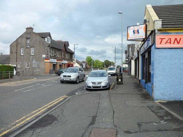
The suburb has a variety of shops including a Co-operative Food, newsagents, butcher, stationers and plenty of take-away food shops. Two bars which serve the area are the Muirhead Inn and The Crowwood.
The surrounding area has one high school and two primary schools.
A local development to the south of the village is Belhaven Park.