Samiksha Jaiswal (Editor)

Muheza District

Updated on
Edit
Like
Comment
Share on FacebookTweet on TwitterShare on LinkedInShare on Reddit
Country
  
Tanzania

Region
  
Tanga

Postcode
  
214xx

Area
  
1,498 kmĀ²

Area code
  
027

Zone
  
Northern

Time zone
  
EAT (UTC+3)

Website
  
tanga.go.tz

Population
  
204,461 (2012)

Muheza District httpsuploadwikimediaorgwikipediacommons88

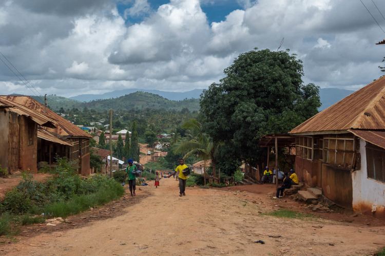
Muheza is one of the eight districts of Tanga Region in Tanzania. It is bordered to the north by Kenya, to the east by the Tanga and the Indian Ocean, to the south by the Pangani District, and to the west by the Lushoto and Korogwe Districts.

Contents

Map of Muheza, Tanzania

According to the 2002 Tanzania National Census, the population of the Muheza District was 279,423.[1]

Wards

The Muheza District is administratively divided into 35 wards:

  • Bwembwera
  • Daluni
  • Duga
  • Gombero
  • Kicheba
  • Kigongoi
  • Lusanga
  • Kigombe
  • Kilulu
  • Kisiwani (English Meaning: on the island)
  • Kwafungo
  • Kwale
  • Magila
  • Magoroto
  • Majengo (English Meaning: buildings)
  • Manza
  • Maramba
  • Masuguru
  • Mbaramo
  • Mhinduro
  • Misilai
  • Misozwe
  • Mkinga
  • Mkuzi
  • Moa
  • Mtimbwane
  • Mtindiro
  • Mwakijembe
  • Ngomeni
  • Nkumba
  • Pande
  • Potwe
  • Songa
  • Tingeni
  • Zirai
  • Mkumbi
  • Enzi
  • References

    Muheza District Wikipedia