
Country Thailand Time zone THA (UTC+7) Geocode 3027 Population 28,501 (2000) | Seat Mueang Yang Postal code 30270 Area 255.5 km² | |
 | ||
Province Nakhon Ratchasima Province | ||
Mueang Yang (Thai: เมืองยาง) is a district (amphoe) in the northeastern part of Nakhon Ratchasima Province, northeastern Thailand.
Contents
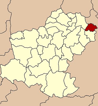
Map of Mueang Yang District, Nakhon Ratchasima, Thailand
History
The area was occupied since prehistoric times, as there were found ceramics in Ban Mueang Yang and Ban Krabueang Nok. There are also small Khmer Prasats in Ban Mueang Yang and Ban Nang O.
The area of Mueang Yang was separated from Chum Phuang district and made a minor district (King Amphoe) on April 1, 1995. The people of the minor district are mixed by original Khorat people and from the neighboring provinces Buriram, Khon Kaen, Maha Sarakham and Roi Et Province.
Following a decision of the Thai government on May 15, 2007, all of the 81 minor districts were to be upgraded to full districts. With the publishing in the Royal Gazette on August 24 the upgrade became official.
Geography
Neighboring districts are (from the north clockwise) Ban Mai Chaiyaphot, Phutthaisong and Khu Mueang of Buriram Province, Lam Thamenchai, Chum Phuang and Prathai of Nakhon Ratchasima Province.
The main water resource is the Mun river.
Administration
The district is subdivided into 4 subdistricts (tambon). There are no municipal (thesaban) areas within the district.