
Country Thailand Tambon 14 Time zone THA (UTC+7) Area 258 km² Province Yala Province | Seat Sateng Muban 80 Postal code 95000 Population 165,005 (2014) | |
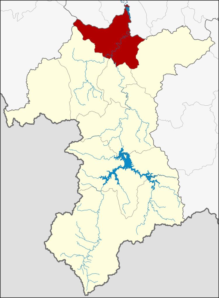 | ||
Mueang Yala (Thai: เมืองยะลา) is the capital district (Amphoe Mueang) of Yala Province, southern Thailand.
Contents
- Map of Mueang Yala District Yala Thailand
- Geography
- History
- Central administration
- Local administration
- References
Map of Mueang Yala District, Yala, Thailand
Geography
Neighboring districts are (from the north clockwise) Khok Pho, Mae Lan and Yarang of Pattani Province, Raman, Krong Pinang and Yaha of Yala province, and Saba Yoi of Songkhla Province.
The main river is the Pattani River, which runs through the town of Yala.
History
Originally only known as Mueang district, the district was renamed to Sateng in 1917 to share the name with the central subdistrict. In 1938, the district was renamed to Mueang Yala to conform with the common name of the central districts of a province.´
Five subdistricts are scheduled to be split off to from the new district Lam Mai in 2015.
Central administration
The district Mueang Yala is subdivided into 14 subdistricts (Tambon), which are further subdivided into 80 administrative villages (Muban).
Missing numbers are tambon which now form Krong Pinang district.
Local administration
There is one city (Thesaban Nakhon) in the district:
There is one town (Thesaban Mueang) in the district:
There are 4 subdistrict municipalities (Thesaban Tambon) in the district:
There are 9 subdistrict administrative organizations (SAO) in the district: