
Country Thailand Time zone THA (UTC+7) Geocode 5301 Population 151,108 (2009) | Seat Tha It Postal code 53000 Area 765.5 km² Province Uttaradit Province | |
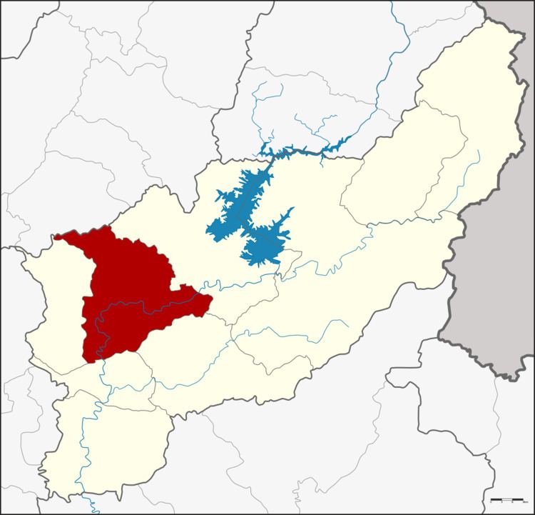 | ||
Mueang Uttaradit (Thai: เมืองอุตรดิตถ์; [mɯ̄aŋ ʔùt.tā.rā.dìt]) is the capital district (Amphoe Mueang) of Uttaradit Province, northern Thailand.
Contents
Map of Mueang Uttaradit District, Uttaradit, Thailand
Geography
Neighboring districts are (from the east clockwise) Tha Pla, Thong Saen Khan, Tron, Laplae of Uttaradit Province and Den Chai of Phrae Province.
History
In 1917 the district was renamed from Mueang to Bang Po (บางโพ). In 1938 it was renamed back to Mueang Uttaradit.
Administration
The district is subdivided into 17 subdistricts (tambon), which are further subdivided into 154 villages (muban). The town (thesaban mueang) Uttaradit covers the whole tambon Tha It. There are three more subdistrict municipalities (thesaban tambon) - Wang Kaphi and Ban Ko each cover the whole of their eponymous tambons, and Ban Dan Na Kham covers parts of tambon Ban Dan Na Kham. There are further 15 Tambon Administrative Organizations (TAO).