
Country Thailand Postal code 61000 Area 250.1 km² | Time zone THA (UTC+7) Geocode 6101 Province Uthai Thani Province | |
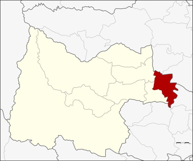 | ||
Mueang Uthai Thani (Thai: เมืองอุทัยธานี) is the capital district (Amphoe Mueang) of Uthai Thani Province, northern Thailand.
Contents
Map of Mueang Uthai Thani District, Uthai Thani, Thailand
Geography
Neighboring districts are (from the west clockwise) Nong Khayang, Thap Than, of Uthai Thani Province, Krok Phra, Phayuha Khiri of Nakhon Sawan Province, Manorom and Wat Sing of Chainat Province.
Administration
The district is subdivided into 14 subdistricts (tambon), which are further subdivided into 86 villages (muban). The town (thesaban mueang) Uthai Thani covers the whole tambon Uthai Mai. There are further 8 Tambon administrative organizations (TAO).
References
Mueang Uthai Thani District Wikipedia(Text) CC BY-SA