
Country Thailand Seat Mak Khaeng Postal code 41000 Area 1,095 km² | Province Udon Thani Time zone ICT (UTC+7) Geocode 4101 Population 404,767 (2013) | |
 | ||
Colleges and Universities Udon Thani Rajabhat University, Santapol College Points of interest Wat Pa Ban Tat, Usotel Waterland, Wat Pothisomphon, Playport, Udon Thani Park | ||
Mueang Udon Thani (Thai: เมืองอุดรธานี) is the capital district (Amphoe Mueang) of Udon Thani Province, northeastern Thailand.
Contents
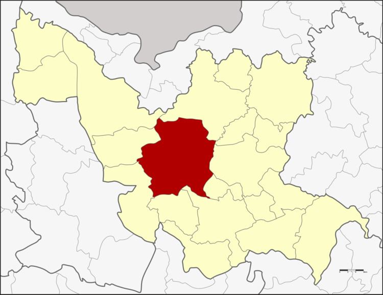
Map of Mueang Udon Thani District, Udon Thani, Thailand
Geography
Neighboring districts are (from the north clockwise) Phen, Phibun Rak, Nong Han, Prachaksinlapakhom, Kumphawapi, Nong Saeng, Nong Wua So, Kut Chap, and Ban Phue of Udon Thani Province.
History
Originally named Ban Mak Khaeng (บ้านหมากแข้ง), the district was one of the original four districts of Udon Thani established during the thesaphiban administrative reforms in 1908. In 1938 it was renamed from Mak Khaeng to Mueang Udon Thani.
Administration
The district is divided into 21 sub-districts (tambon), which are further subdivided into 248 villages (muban). The city (thesaban nakhon) Udon Thani covers the whole tambon Mak Khaeng and parts of Nong Bua and Nong Khon Kwang. There are two town municipalities (thesaban mueang). Nong Samrong covers the whole tambon Na Di and parts of Mu Mon, Ban Lueam, and Non Sung. Nam Kham covers parts of tambon Non Sung. There are further five sub-district municipalities (thesaban tambon). Nikhom Songkhro covers parts of tambon Nikhom Songkhro and Khok Sa-at; Nong Bua parts of tambon Nong Bua, Nong Na Kham, Sam Phrao, and Nong Khon Kwang; Ban Chan parts of tambon Ban Chan and Nong Khon Kwang; Na Kha parts of tambon Na Kha. There are further 18 tambon administrative organizations (TAO).