
Country Thailand Time zone THA (UTC+7) Geocode 2301 Province Trat Province | Seat Nong Samet Postal code 23000 Area 938.6 km² | |
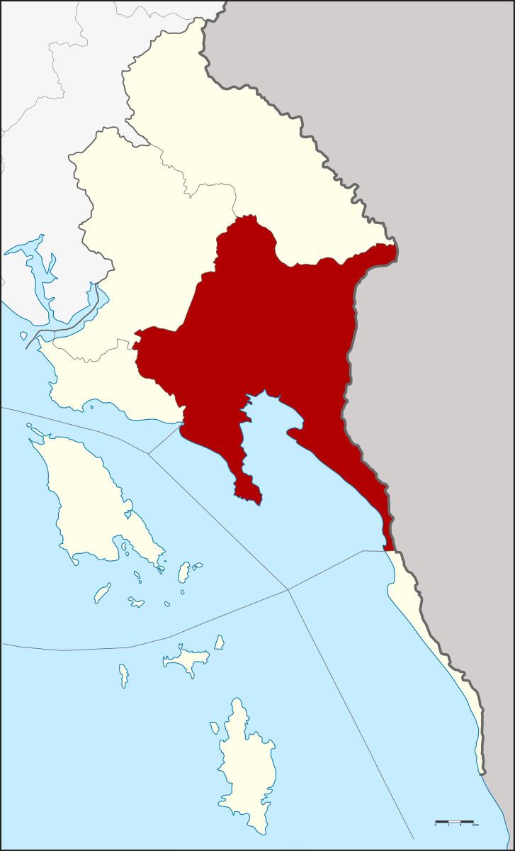 | ||
Mueang Trat (Thai: เมืองตราด, [mɯ̄a̯ŋ tràːt]) is the capital district (Amphoe Mueang) of Trat Province, eastern Thailand.
Contents
Map of Mueang Trat District, Trat, Thailand
History
The area was settled in 1901 as a Khwaeng of Mueang Trat. The government upgraded the Khwaeng to be Mueang Trat district in 1908. In 1921 the district was renamed to Bang Phra after the name of the central tambon. The district name was changed to Mueang Trat in 1938 due to the new naming policy of the capital districts.
Geography
Neighboring districts are (from the west clockwise) Laem Ngop, Khao Saming, Bo Rai of Trat Province, the province Pursat, Koh Kong of Cambodia, Khlong Yai of Trat province again and the Gulf of Thailand.
Administration
The district is subdivided into 14 subdistricts (tambon), which are further subdivided into 97 villages (muban). Trat itself has town (thesaban mueang) status and covers the tambon Bang Phra and part of Wang Krachae. The township (thesaban tambon) Tha Phrik Noen Sai covers the complete tambon Tha Phrik and parts of Noen Sai. There are further 12 Tambon administrative organizations (TAO).