
Country Thailand Time zone THA (UTC+7) Geocode 6401 Population 106,397 (2008) | Seat Thani Postal code 64000 Area 581.5 km² Province Sukhothai Province | |
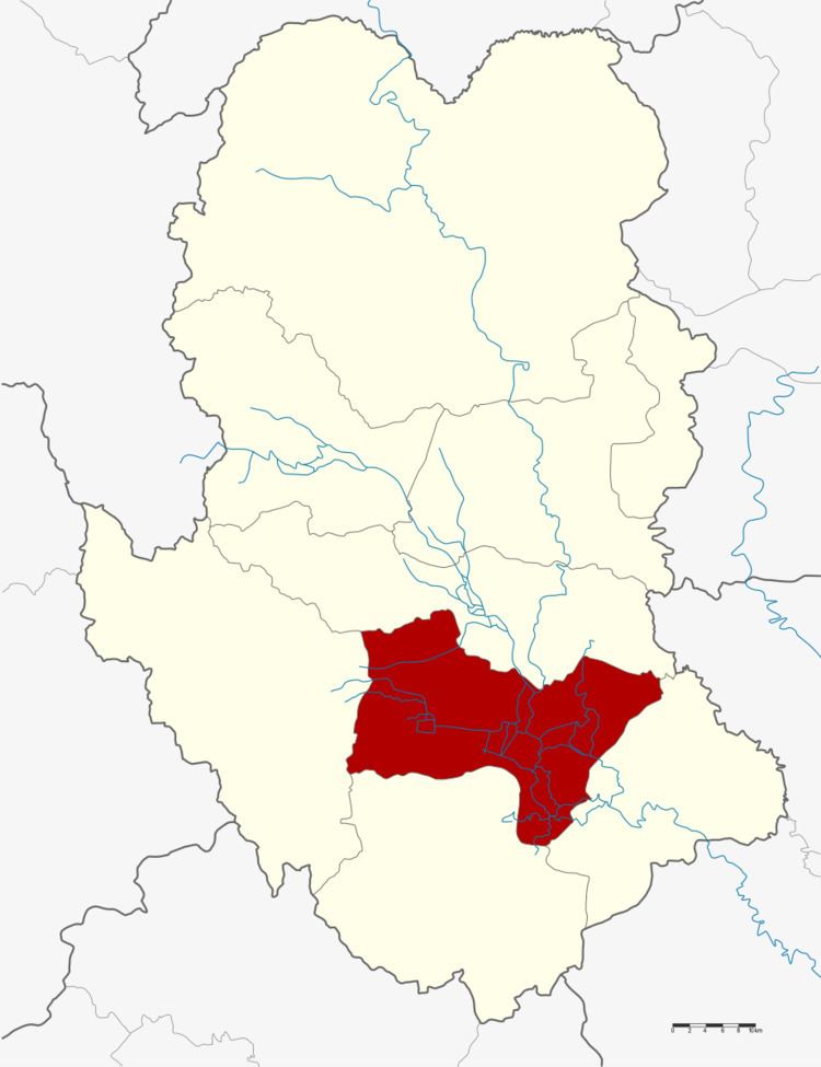 | ||
Mueang Sukhothai (Thai: เมืองสุโขทัย) is the capital district (Amphoe Mueang) of Sukhothai Province, northern Thailand.
Contents
Map of Mueang Sukhothai District, Sukhothai, Thailand
Geography
Neighboring districts are (from the southeast clockwise) Kong Krailat, Khiri Mat, Ban Dan Lan Hoi and Si Samrong of Sukhothai Province and Phrom Phiram of Phitsanulok Province.
The important water resource is the Yom River.
History
Originally named Mueang as the capital district of Sukhothai province, in 1917 the district was renamed to Thani (ธานี). In 1932, the province Sukhothai was abolished and merged into Sawankhalok province. 1939 the province was renamed to Sukhothai, and the district, by then named Sukhothai Thani (สุโขทัยธานี) was renamed to Mueang Sukhothai.
Administration
The district is subdivided into 10 subdistricts (tambon), which are further subdivided into 98 villages (muban). The town (thesaban mueang) Sukhothai Thani covers the whole tambon Thani. there are further two subdistrict municipalities (thesaban tambon) - Ban Suan and Mueang Kao, each covering parts of the same-named tambon. There are further 9 Tambon administrative organizations (TAO).