
Country Thailand Time zone ICT (UTC+7) Geocode 4512 Population 23,751 (2005) | Seat Nong Phue Postal code 45220 Area 209.4 km² Province Roi Et Province | |
 | ||
Mueang Suang (Thai: เมืองสรวง) is a district (amphoe) of Roi Et Province, in northeastern Thailand.
Contents
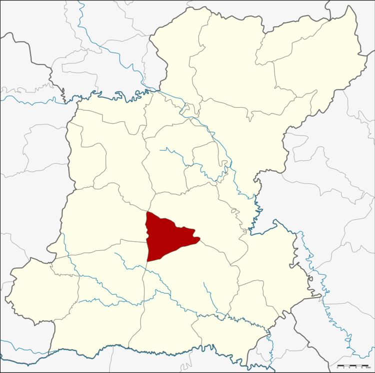
Map of Mueang Suang District, Roi Et, Thailand
Geography
The district is in the central part of Roi Et Province. Neighboring districts are (from the north clockwise) At Samat, Suwannaphum, Kaset Wisai, Chaturaphak Phiman and Mueang Roi Et (at a single point).
History
Suang was one of the 11 mueang or city-states subordinate to Mueang Roi Et.
The minor district (king amphoe) was created on 15 March 1973, when the three tambon Nong Phue, Nong Hin, and Khu Mueang were split off from Suwannaphum District. It was upgraded to a full district on 25 March 1979.
Administration
The district is divided into five sub-districts (tambon), which are further subdivided into 49 villages (muban). Mueang Suang has ttownship (thesaban tambon) status and covers the tambon Mueang Suang and parts of Nong Phue. There are a further three tambon administrative organization (TAO).