
Country Thailand Tambon 6 Time zone ICT (UTC+7) Area 171.9 km² Province Songkhla Province | Seat Bo Yang Muban 47 Postal code 90000 Population 163,329 (2014) | |
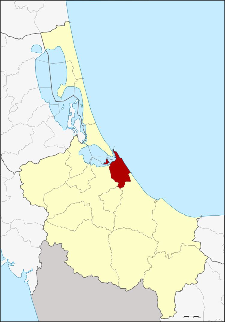 | ||
Mueang Songkhla (Thai: เมืองสงขลา, Pattani Malay: ซิงกอรา) is the capital district (amphoe mueang) of Songkhla Province, southern Thailand.
Contents
- Map of Mueang Songkhla District Songkhla Thailand
- Geography
- History
- Central administration
- Local administration
- References
Map of Mueang Songkhla District, Songkhla, Thailand
Geography
Neighboring districts are (from the south clockwise) Chana, Na Mom, Hat Yai and Singhanakhon of Songkhla Province. To the east is the Gulf of Thailand.
In the northern part of the district is Songkhla Lake.
History
The name "Songkhla" is a Thai corruption of Singgora, its original name, which means "the city of lions" in Malay. It refers to a lion-shaped mountain near the city of Songkhla.
Central administration
The Mueang Songkhla District is divided into six sub-districts (tambon), which are further subdivided into 47 administrative villages (muban).
Local administration
There is one city (thesaban nakhon) in the district:
There is one town (thesaban mueang) in the district:
There are two sub-district municipalities (thesaban tambon) in the district:
There are two sub-district administrative organizations (SAO) in the district: