
Country Thailand Postal code 74000 Area 492 km² Province Samut Sakhon Province | Time zone THA (UTC+7) Geocode 7401 Population 278,925 (2015) | |
 | ||
Mueang Samut Sakhon (Thai: เมืองสมุทรสาคร, [mɯ̄a̯ŋ sā.mùt sǎː.kʰɔ̄ːn]) is the capital district (Amphoe Mueang) of Samut Sakhon Province, central Thailand.
Contents
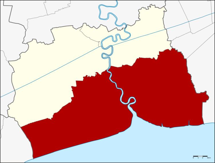
Map of Mueang Samut Sakhon District, Samut Sakhon, Thailand
History
Mueang Tha Chin name was firstly found in Ayutthaya law that refer to the governor position, Phra Samut Sakhon. The city was managed into the southern cities group that controlled by the Defence ministry. King Mahachakkraphat ordered to establish Mueang Sakhon Buri. King Mongkut (Rama IV) changed the city name to be Samut Sakhon. In 1897 Mueang Samut Sakhon was changed status to be Mueang Samut Sakhon district.
Local Thai people always calls Mueang Samut Sakhon district in the name Maha Chai.
Geography
Neighboring districts are (from the west clockwise) Mueang Samut Songkhram of Samut Songkhram Province, Ban Phaeo and Krathum Baen of Samut Sakhon Province, and Bang Bon and Bang Khun Thian of Bangkok. To the south is the Bay of Bangkok.
Administration
The district is subdivided into 18 subdistricts (tambon), which are further subdivided into 116 villages (muban). Samut Sakhon itself has city status (thesaban nakhon) and covers the three subdistricts Maha Chai, Tha Chalom and Krokkrak. Bang Pla is a subdistrict municipality (thesaban tambon) which covers parts of the same-named subdistrict. Three other subdistricts completely form a subdistrict municipality - Na Di, Bang Ya Phraek and Tha Chin. The non-municipal area is administrated by 12 Tambon administrative organizations (TAO).