
Country Thailand Postal code 27000 Area 1,832 km² Province Sa Kaeo Province | Time zone THA (UTC+7) Geocode 2701 Population 107,092 (2008) | |
 | ||
Amphoe Mueang Sa Kaeo (Thai: เมืองสระแก้ว) is the capital district (Amphoe Mueang) of Sa Kaeo Province, eastern Thailand.
Contents
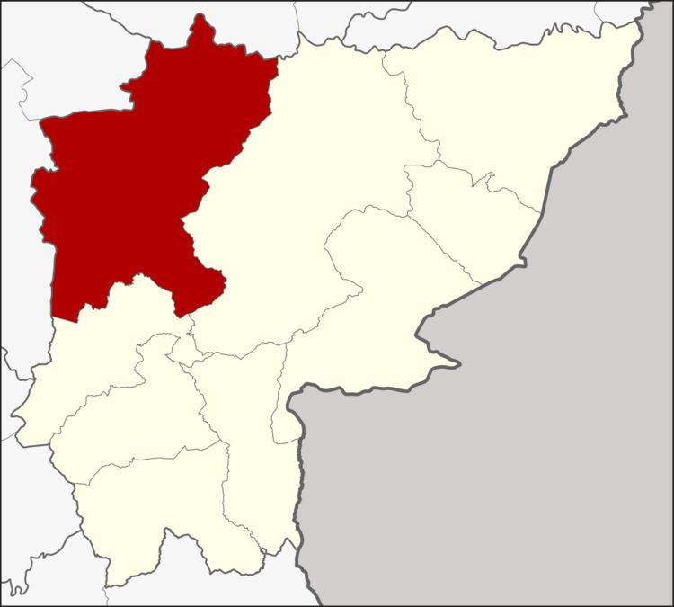
Map of Mueang Sa Kaeo District, Sa Kaeo, Thailand
Geography
Neighboring districts are (from the north clockwise) Khon Buri of Nakhon Ratchasima Province, Watthana Nakhon and Khao Chakan of Sa Kaeo, and Kabin Buri and Na Di of Prachinburi Province.
The Sankamphaeng Range mountainous area is located in the northern section of this district, within its forested hills at the boundary between Sa Kaeo and Prachinburi Province is the Pang Sida National Park.
History
1909 the minor district (King Amphoe) Sa Kaeo was established as a subordinate of Kabinburi district. It was upgraded to a full district on July 23, 1958. When in 1993 the new province Sa Kaeo was created, the district became the capital district of the province and was therefore renamed to Mueang Sa Kaeo.
Administration
The district is subdivided into 8 subdistricts (tambon), which are further subdivided into 124 villages (muban). Sa Kaeo itself has town status (thesaban mueang) and covers parts of the tambon Sa Kaeo and Tha Kasem. There are also two subdistrict municipalities (thesaban tambon) - Tha Kasem and Sala Lamduan both covering parts of the same-named tambon. There are further 8 Tambon administrative organizations (TAO).
Missing numbers are tambon now forming Khao Chakan district.