
Country Thailand Postal code 45000 Area 493.6 km² | Time zone ICT (UTC+7) Geocode 4501 Province Roi Et Province | |
 | ||
Points of interest Wat Burapapiram, Muang Roi Et Municipal, Somdet Phra Srinagari, Wat Klang Ming Mueang, Roi Et National Museum | ||
Mueang Roi Et (Thai: เมืองร้อยเอ็ด) is the capital district (amphoe mueang) in the western part of Roi Et Province, northeastern Thailand.
Contents
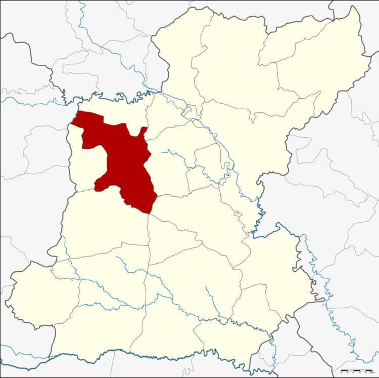
Map of Mueang Roi Et District, Roi Et 45000, Thailand
History
Mueang Roi Et is an ancient city. The area around the city was made into a district in 1908. In 1913 its name was changed from Pachin Roi Et to Mueang Roi Et.
Geography
Neighboring districts are (from the north clockwise) Changhan, Chiang Khwan, Thawat Buri, At Samat, Mueang Suang (at a single point), Chaturaphak Phiman and Si Somdet of Roi Et Province, and Mueang Maha Sarakham of Maha Sarakham Province.
Administration
The district is divided into 15 sub-districts (tambon), which are further subdivided into 195 villages (muban). Roi Et is a town (thesaban mueang) which covers the whole of tambon Nai Mueang. There are a further 14 tambon administrative organizations (TAO).
Missing numbers are tambon which form the districts Changhan and Si Somdet.