
Country Thailand Time zone THA (UTC+7) Geocode 8501 Province Ranong Province | Seat Khao Niwet Postal code 85000 Area 713.7 km² | |
 | ||
Mueang Ranong (Thai: เมืองระนอง) is the capital district (Amphoe Mueang) of Ranong Province, southern Thailand.
Contents
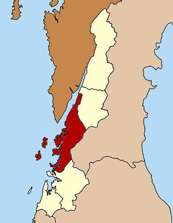
Map of Mueang Ranong District, Ranong, Thailand
Geography
Neighboring districts are (from the north clockwise) La-un of Ranong Province, Phato of Chumphon Province, and Kapoe of Ranong again. To the west across the Kraburi River estuary is the Tanintharyi Division of Myanmar.
Administration
The district is subdivided into 9 subdistricts (tambon), which are further subdivided into 39 villages (muban). The town (thesaban mueang) Ranong covers the whole tambon Khao Niwet. There are three subdistrict municipalities (thesaban tambon) - Ngao and Pak Nam each cover parts of the same-named tambon, while Bang Rin covers the whole tambon. There are further 7 Tambon administrative organization (TAO).
References
Mueang Ranong District Wikipedia(Text) CC BY-SA