
Country Thailand Postal code 54000 Area 756.1 km² | Time zone ICT (UTC+7) Geocode 5401 Province Phrae Province | |
 | ||
Mueang Phrae (Thai: เมืองแพร่; [mɯ̄aŋ pʰrɛ̂ː]) is the capital district (Amphoe Mueang) of Phrae Province, northern Thailand.
Contents
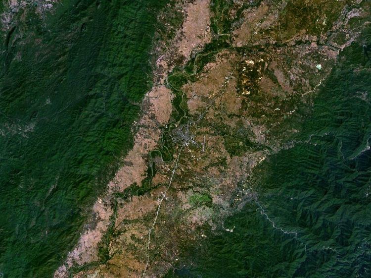
Map of Mueang Phrae District, Phrae, Thailand
Geography
Neighboring districts are (from the southwest clockwise) Sung Men, Long, Nong Muang Khai, Rong Kwang of Phrae Province, Na Muen of Nan Province and Tha Pla of Uttaradit Province.
The Phi Pan Nam Range dominates the landscape of the district.
Administration
The district is subdivided into 20 subdistricts (tambon), which are further subdivided into 157 villages (muban). Phrae itself is a town (thesaban mueang) and cover the complete tambon Nai Wiang. There are three more townships (thesaban tambon) - Thung Hong and Mae Lai both cover the complete same-named tambon, Cho Hae covers the complete tambon Cho Hae and parts of Padaeng. There are further 15 Tambon administrative organizations (TAO).