
Country Thailand Time zone ICT (UTC+7) Geocode 6601 Population 112,779 (2008) | Seat Nai Mueang Postal code 66000 Area 738.9 km² Province Phichit Province | |
 | ||
Mueang Phichit (Thai: เมืองพิจิตร) is the capital district (amphoe mueang) of Phichit Province, northern Thailand.
Contents
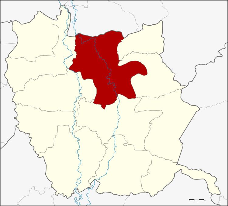
Map of Mueang Phichit District, Phichit, Thailand
Geography
Neighboring districts are (from the east clockwise) Sak Lek, Wang Sai Phun, Taphan Hin, Pho Prathap Chang, Sam Ngam of Phichit Province and Bang Krathum of Phitsanulok Province.
History
1917 the district was renamed from Mueang to Tha Luang (ท่าหลวง). 1938 it was renamed to Mueang Phichit.
Administration
The district is divided into 16 sub-districts (tambon), which are further subdivided into 134 villages (muban). The town (thesaban mueang) Phichit covers the whole tambon Nai Mueang. There are three more sub-district municipalities (thesaban tambon). Tha Lo and Hua Dong each cover parts of their tambons, and Wang Krot parts of tambon Ban Bung. There are a further 15 tambon administrative organizations (TAO).
Missing numbers are tambon which now form Sak Lek district.