
Country Thailand Postal code 76000 Area 283.9 km² | Time zone THA (UTC+7) Geocode 7601 Province Phetchaburi Province | |
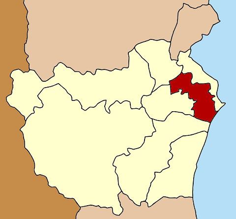 | ||
Mueang Phetchaburi (Thai: เมืองเพชรบุรี, [mɯ̄a̯ŋ pʰét.t͡ɕʰā.bū.rīː]) is the capital district (Amphoe Mueang) of Phetchaburi Province, western Thailand.
Contents
Map of Mueang Phetchaburi District, Phetchaburi, Thailand
History
The district was established around 1903. The government named it Khlong Krachaeng because its center was located in Tambon Khlong Krachaeng.
Geography
Neighboring districts are (from the northeast clockwise) Ban Laem, Khao Yoi, Ban Lat, Tha Yang of Phetchaburi Province and the Bay of Bangkok.
The important water resource is the Phetchaburi River.
Administration
The district is subdivided into 24 subdistricts (tambon), which are further subdivided into 184 villages (muban). There are three municipal areas within the district - the town (thesaban mueang) Phetchaburi covers the complete tambon Tha Rap and Khlong Krachaeng. Further there are two townships (thesaban tambon), Hat Chao Sam Ran covers the whole tambon Hat Chao Sam Ran, and Hua Saphan covers the whole Hua Saphan and Wang Tako. The non-municipal area is administrated by 18 Tambon administrative organizations (TAO).