
Country Thailand Postal code 93000 Area 436.8 km² | Time zone THA (UTC+7) Geocode 9301 Province Phatthalung Province | |
 | ||
Points of interest Wat Khuha Sawan, Mueang Kao Chai Buri Fore, Wat Wang, Wat Khuan Prong, Khao Ok Talu | ||
Mueang Phatthalung (Thai: เมืองพัทลุง, [mɯ̄a̯ŋ pʰát.tʰā.lūŋ]) is the capital district (Amphoe Mueang) of Phatthalung Province, southern Thailand.
Contents
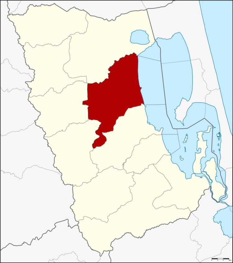
Map of Muang Phatthalung District, Phatthalung, Thailand
Geography
Neighboring districts are (from the south clockwise) Khao Chaison, Kong Ra, Srinagarindra, and Khuan Khanun of Phatthalung Province, and Ranot and Krasae Sin of Songkhla Province.
The eastern part of the district is at the shore of the Thale Luang, the northern part of the Songkhla Lake.
History
The district Klang Mueang (กลางเมือง) was one of the three original districts established in 1896. In 1917 it was renamed to Lampam (ลำปำ), following the name of the tambon containing the district administration. The administration was moved to tambon Khuha Sawan in 1924. 1938 the district was finally renamed to Mueang Phatthalung.
Administration
The district is subdivided into 14 subdistricts (tambon), which are further subdivided into 144 villages (muban). The town (thesaban mueang) Phatthalung covers the whole tambon Khuhu Sawan, and small parts of the tambon Khao Chiak, Tha Miram, Prang Mu, Lampam, Tamnan and Khuan Maphrao. There are further 13 Tambon administrative organizations (TAO).
Missing numbers are tambon which now form Srinagarindra district.