
Country Thailand Postal code 82000 Area 549.6 km² Province Phang Nga Province | Time zone ICT (UTC+7) Geocode 8201 Population 38,426 (2005) | |
 | ||
Mueang Phang Nga (Thai: เมืองพังงา, rtgs: Mueang Phangnga, [mɯ̄a̯ŋ pʰāŋ.ŋāː]) is the capital district (amphoe mueang) of Phang Nga Province in southern Thailand.
Contents
Map of Mueang Phang-nga District, Phang Nga, Thailand
Geography
Neighboring districts are (from the east clockwise) Thap Put, Phanom of Surat Thani Province, Kapong, Thai Mueang, and Takua Thung. To the south is Phang Nga Bay, with the insular district Ko Yao.
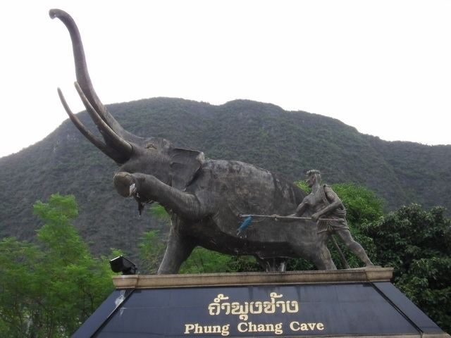
The Ao Phang Nga National Park covers the islands south of the district. Sa Nang Manora Forest Park protects 0.29 km² of the Khao Toy Nang Hong Forest around the Sa Nang Manora waterfall. The Ton Pariwat Wildlife Sanctuary in the north of the district is under construction. There are also several caves within the limestone hills.
Administration
The district is subdivided into 9 subdistricts (tambon), which are further subdivided into 42 villages (muban). Phang Nga itself is a town (thesaban mueang) and covers the tambon Thai Chang. There are further 7 tambon administrative organizations (TAO).