
Country Thailand Muban 66 Postal code 94000 Area 96.87 km² Province Pattani Province | Tambon 13 Time zone THA (UTC+7) Geocode 9401 Population 127,531 (2014) | |
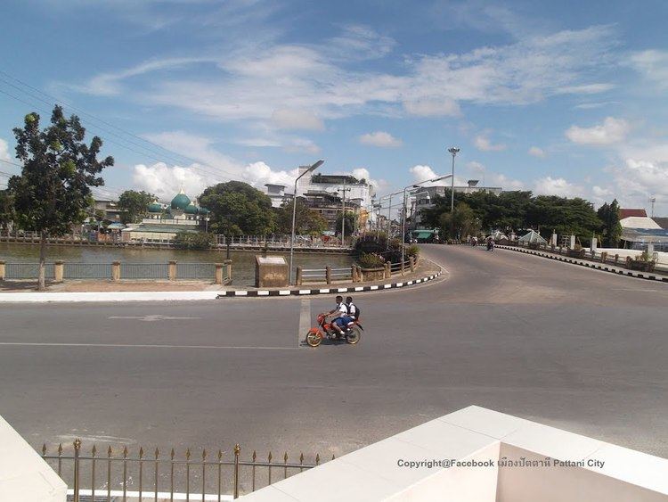 | ||
Mueang Pattani (Thai: เมืองปัตตานี) is the capital district (Amphoe Mueang) of Pattani Province, southern Thailand.
Contents
- Map of Mueang Pattani District Pattani Thailand
- History
- Geography
- Central administration
- Local administration
- Tourism
- References
Map of Mueang Pattani District, Pattani, Thailand
History
This area was the center of the Pattani Kingdom. In the reign of King Rama II, the king ordered to divide the kingdom to 7 cities (Mueang), Pattani, Yaha, Yaring, Nong Chik, Ra-ngae, Raman and Sai Buri. It was officially settled to be a district in 1901. Pattani was the central district of Monthon Pattani when King Rama V created the monthon in 1906.
In 1917 the district was renamed to Sabarang, the name of the central subdistrict. In 1938 the name was changed back to Mueang Pattani.
Geography
Neighboring districts are (from the east clockwise) Yaring, Yarang and Nong Chik. To the north is the Gulf of Thailand.
The important water resource is the Tani river.
Central administration
The district Mueang Pattani is subdivided into 13 subdistricts (Tambon), which are further subdivided into 66 administrative villages (Muban).
Local administration
There is one town (Thesaban Mueang) in the district:
There is one subdistrict municipality (Thesaban Tambon) in the district:
There are 9 subdistrict administrative organizations (SAO) in the district:
Tourism
Main attractions